Tuesday 24th March 2015 – Part 4 - Curio Bay to Cape Farewell – Bikes, Nags, Canoes and Mazes

|
24th March 2015 – Part 4 - Curio Bay to Cape Farewell – Bikes, Nags, Canoes and Mazes We’d now gone as far south as we intended so it was time to turn around and drive north and our first stop was in Alexandra by the Clutha River. The town is near the one end of the Central Otago rail trail which is now a cycle track and runs for about 100 miles along the disused railway between Middlemarch and Clyde. We weren’t up for cycling that - particularly on hired bicycles - but we did hire mountain bikes and cycle between Alexandra and Clyde along the river bank and back again on the other side on the last 6 miles of the rail/cycle track.
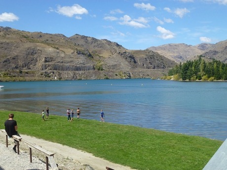
The Clutha River with no shortage of water unlike so many others in New Zealand
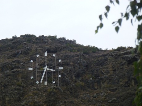
No one in Alexandra can have any excuse for being late, not with this clock perched Hollwood style high above the town.
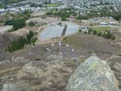
Time going backwards – the rear of the clock with a vineyard below next to the old Shaky Bridge A bit further north, we called in at the Mount Difficulty winery to taste some of the Pinot Noir for which the region is famous. We puzzled that anyone would pay $99 for a bottle of this year’s single grape wine whilst the blend bottled three years previously tasted far less tart and cost only $26. Clearly we will never become Masters of Wine.
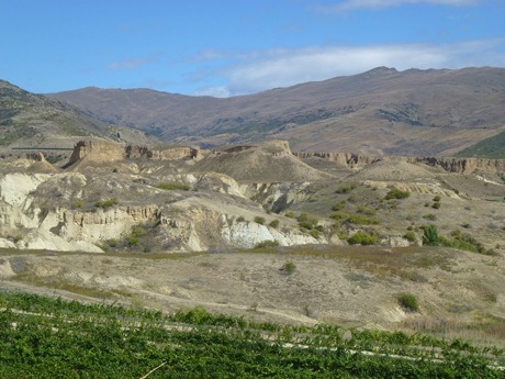
More like Utah than New Zealand, the landscape enlivened by only the green vines.
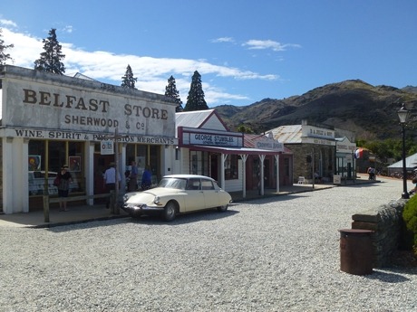
The town of Cromwell, sits at the confluence of the Clutha and Kawarau rivers. It had been so named in the 1860’s by a slightly mischevous surveyor sent by the government to survey the emerging township. He was a protestant from Ulster and knew perfectly well that many of the gold miners were Irish Roman Catholics. He also took the opportunity to name many of the steets after towns in Ulster. In the 1980’s, the Clutha was dammed which meant flooding part of the town. The residents accepted their fate but organised that several of the older High Street buildings dating from the gold rush days be relocated.
Yellow buoys mark the pillars of the old bridge which was destroyed when the Clutha dam was built One of the few places we did pay a return visit to was Wanaka at the foot of the Southern Alps. Sadly the weather wasn’t that good so that meant a walk to the high tops on the Rob Roy track was not on the cards, much to Jon’s relief. Instead we walked up the much smaller Mount Iron just outside the town.
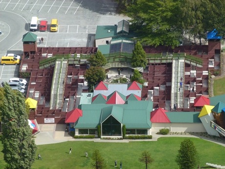
Puzzling World, 250 metres below Mount Iron. Carol could have used the picture the day before as after finding the 4 coloured towers in the corners in the correct order surprisingly quickly, she took 45 mintues to find the exit. It really is a fiendishly clever 3D maze. Next stop was Hanmer Springs, an attractive place built to take advantage of the hot springs. A few hospitals and clinics opened at the turn of the last century and the town has the feel of a ski resort surrounded by pine forest and redwood trees.
The waterfall that feeds the Dog Stream way above Hanmer Springs. Clearly not a lot of water is around at the moment but Carol found it a pleasant, if strenuous, three hour walk there through the larch tree woods.
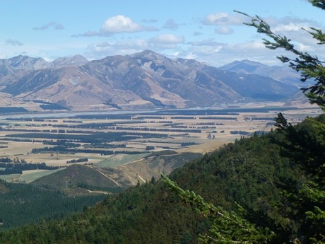
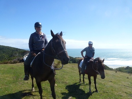
Meanwhile, Jon mountain biked lower down the hillside in the woods overlooking the Hanmer plain. Our final stop in the South Island was in Golden Bay just north of the Abel Tasman national park. Again, it was a time to get out in the open and be active. We went riding for a few hours on Old Man Range which leads down to Cape Farewell spit which is far north and west as you can go on the South Island. None of the photos Carol took turned out well as the wind was blowing old boots and she was riding quite a feisty little horse called Pocket Rocket. However, Pam, the leader (after whom possibly the recent cyclone was named) managed to snap Arnamentia’s crew.
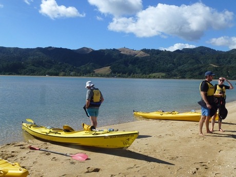
The horses having a well earned rest after a very steep climb. The next day, a different set of muscles were put use and a few hours were spent sea kayaking near Abel Tasman point. The water was a bit murky but we clearly saw the outline of several sting rays swimming by.
A contemplative coffee stop
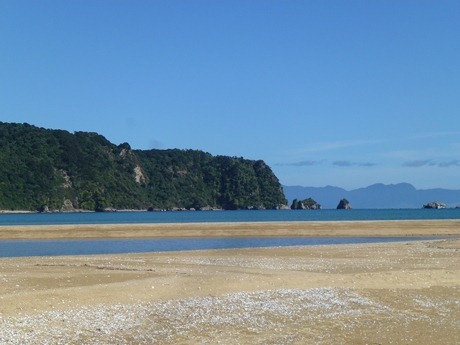
Brilliant colours off Abel Tasman Point |

