If you have Google earth you may see this tiny
island of Blanquilla at 11.50.40N 64.38.82W otherwise few maps would show
this beautiful island that's 3 miles by 4 miles and only 50 feet high at
its highest. There are a few inhabitants, fishermen and their families and a
coast guard station, they live in half a dozen houses on the southern
shores.
We called the coastguard as we approached and
let him know ours and Waylanders intentions, we decided to anchor
on the west coast because there was a bit of a swell on the south side.
We had left Juan Griego at 05.30hrs that morning to
arrive in this beautiful island of Blanquilla at around 14.30hrs, we had decided
to wait for the seas to settle after Hurricane Dean passed by 240 miles to the
north of Margarita. The seas certainly calmed as did the wind, so we had to use
the iron sail again!! We caught a couple of nice Dorado on the way across so we
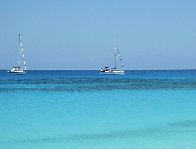
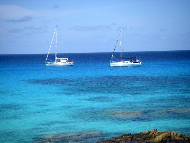
anchored near Waylander in order for them to have a short trip over to
Chaser for dinner. We had intentions of moving off to another anchorage
in a day or so, so anchoring close was not a problem but this beach and the
waters are absolutely stunning we decided to stay put.
The coastguard called pass the following day to
check our papers and to check if we had any beer or cigarettes aboard, not
because we are not allowed to have them, because they would kinda like some. We
obliged with a six pack of coldies and a packet of American ciggies. They were
all very polite, no problems, no guns no shirts either, maybe they weren't
coastguards!
We were due in Puerto de la Cruz on the 24th August
but we couldn't leave so quickly, we phoned the marina in PLC and made our
excuses. We haven't done much here, there is much to do apart from enjoy
the ambience, the sea, the sunsets, how we suffer. We have been walking and
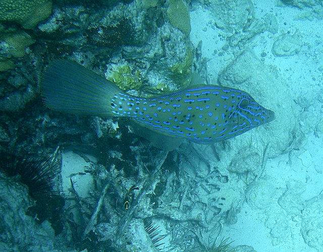
swimming every day, fishing to, even put the crab pot out and caught a couple of
fish. Chris and Tony did the same so we pooled our catch and made a good fish
dinner with cous cous, bakes, and a cold bottle of wine.
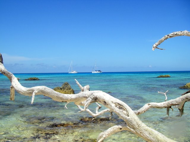
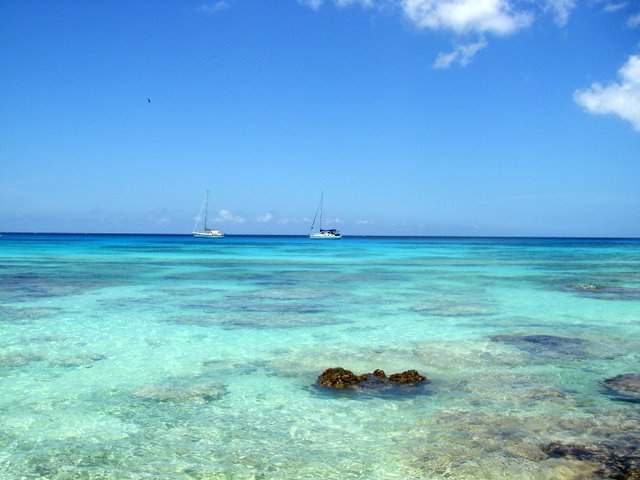
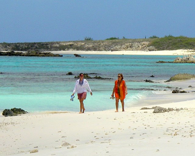
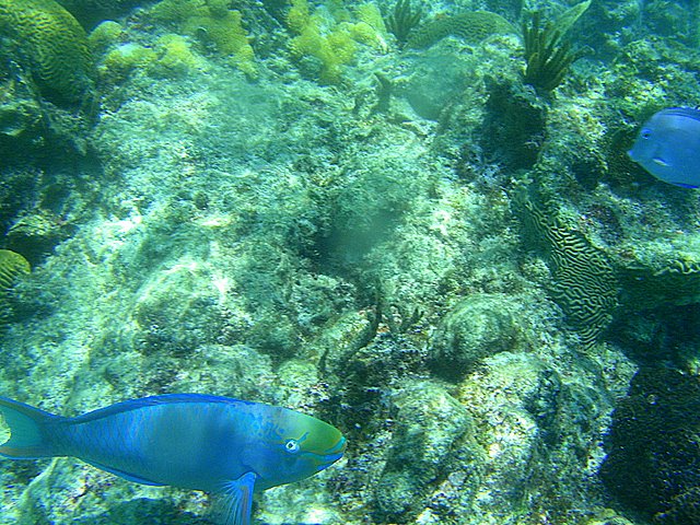
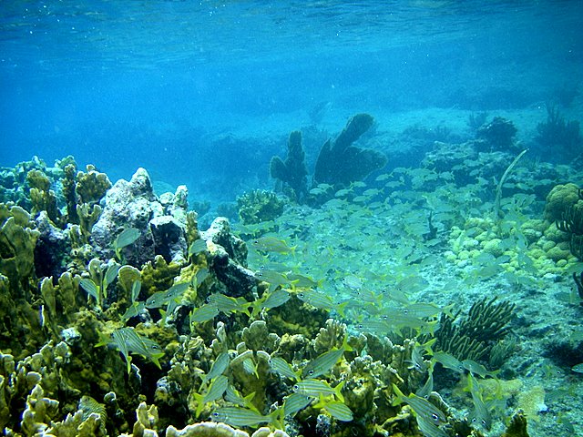
Words can't describe the colours and beauty of this
desolate island, so take a look at the photos and you'll see what I mean, this
is by far the best waters we've been to during our travels, better even
than Tobago Keys partly because there were far fewer boats and no charter
boats. Selfishly it would have been nice to have the beach to ourselves,
we did much of the time but two or three other boats were in the
anchorage, and 3 or 4 more have since moved in, there is plenty of space
but still they have to park up right next to you, not just us, but
some nationalities more than others seem to want to be alongside. We watched a
couple of newcomers enter and anchor so close to another boat that they
ended up having to up anchor and move away.
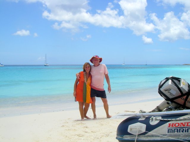
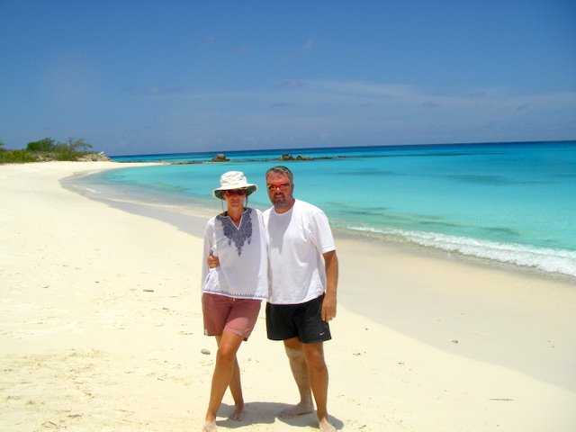
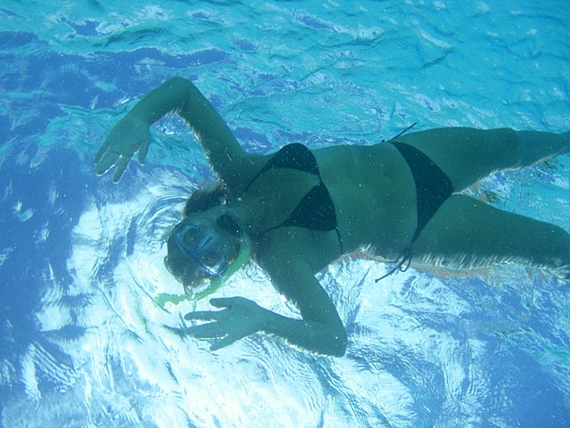
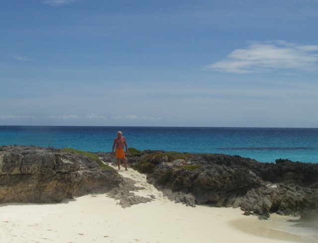
As you can see we both had to take our each
others pictures before picnicking on the beach watching the sun go down.
Wow!
We don't have any WiFi here, so by the time anyone
reads this, we-ll have moved on, next stop apart from an overnighter in
Robledal, Margarita, is Cumana, Venezuela, then on to PLC.