Grand Torres to Portoscuso
Position 39:12.13N 8:22.82E Leaving the moorings looking north
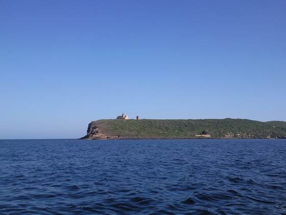
The headland from inside the bay
The wind was again very kind and the sea state smooth for this 40nm trip. I took a photo of the landscape
This stretch of coast is not developed or populated. I passed one harbour where there is a marina but it can only take yachts up to 10mts so from our perspective is very aptly named Buggerru. As we approached the south east corner of Sardinia I had a bit of fun trying to dodge a fishing net which stretched out from the coast about two miles. I got close enough to see all the lines joining the floats on the surface. There were no navigation buoys to mark it and at first I assumed it was a series of pot markers. When I got into Portoscuso I took this photo of the anchors they use to secure the nets to the bottom.
They are at least two metre long so if I had got tangled in the net I don’t think I would have pulled them out. There are a lot of rocks around this corner of Sardinia so we went in to Portoscuso very slowly.
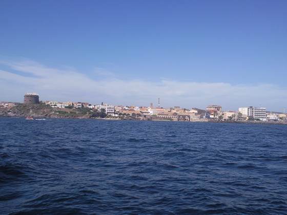
The entrance is to the right of the picture. Below the tower there are some unmarked rocks. Coming in I called the marina on the radio but we had a language problem so by dint of very eloquent sign language we were directed to a pontoon berth and two chappianos helped us to berth. It is a very pleasant marina but Minka is the only non Italian yacht here. They don’t always berth here successfully.
I have yet to have a look around town but have managed to find an unsecured wifi link hence the blogs. |