Hawea to Jackson Bay

Marita3
Mark & Helen Syrett
Fri 2 Jan 2015 01:13
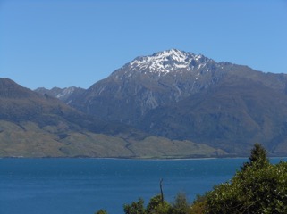
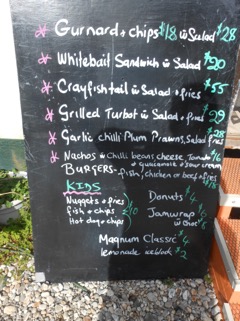
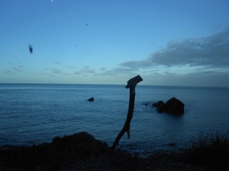
| New Year's Day 43:58.361S 168:36.838E There were a few sore heads in the camp site in the morning and many wet sleeping bags drying out when we left in full sunshine—why could it not have been like that the day before? The route north entailed a drive along Lake Hawea   and then along the northern part of Lake Wanaka  before encountering the Haast pass with it’s fast running rivers  blue pools  and waterfalls  before driving down onto the flatlands around Haast and the Tasman sea. The road that we travelled was Route 6 and it was not fully opened until the early 1960’s. This area is very remote and it takes 2 days for the fuel tanker to drive from Dunedin to deliver fuel to the very few garages. Jackson Bay was identified as the potential night stop—47 km down a road essentially leading to nowhere other than a small wharf and a few fishing boats  Why all that way for that? The Cray Pot fish restaurant, or rather shack, which had been recommended to us was the reason  It closes at 7.30 with last orders at 7pm  the menu was  and we feasted on a whitebait patties starter  cray fish  and guarnard  whilst the sand flies feasted on us! We are now sheltering in the van, the windows black with sand flies all openings closed but somehow they are still getting in to welcome us to the west coast with a nasty bite. The view of the Tasman sea (with sand fly on the lens) is one redeeming feature  |