To Azores Day 1

|
41:45.119 N 066:16.294 W By the time we finished last minute provisioning and
fuelling up (125 gallons) it was Still motoring. We dined well on boef bourguignon courtesy of Delia and Steve. I hate the motoring but it is taking us closer to the wind. I’m sure by tomorrow we’ll be sailing. Still motoring. Quiet clear night. The Rosy Fingered dawn, well more of a
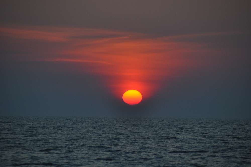
Rosy Smudge, began around Even though we’re over a hundred miles from
There appears to be a strange anomaly between the Computer Charts (C-Map) and the Raymarine Chart Plotter (Navionics). On one, we are a mile or so above our intended track and on the other a mile or so below. The lat/long of the actual boat is the same in both systems which of course is taken from the GPS. Maybe one or both of the charts are a bit out in this area, as the shoals appear to be in slightly different positions. We will definitely be vigilant when approaching Horta. Georges Shoal had a very pronounced tidal rip. Still motoring, or rather motor sailing. We’ve put up all the sail in the hope of an extra fraction of a knot. The wind has gone SSW but there is only about 8 knots of it so far. This morning we were buzzed by a US Coast Guard Jet which shot by very low very close, and very fast. There’s a Canadian warship seven miles North of us practicing with pyrotechnics whatever that means. The sea remains flat and the wind light. We’ve seen a few dolphins in the distance but they haven’t come to play. Our first 24 hours logged 180 miles almost all of it under engine alas. I attach a few snap of our departure. The white light house is on the tip of
|


