to St Michaels
|
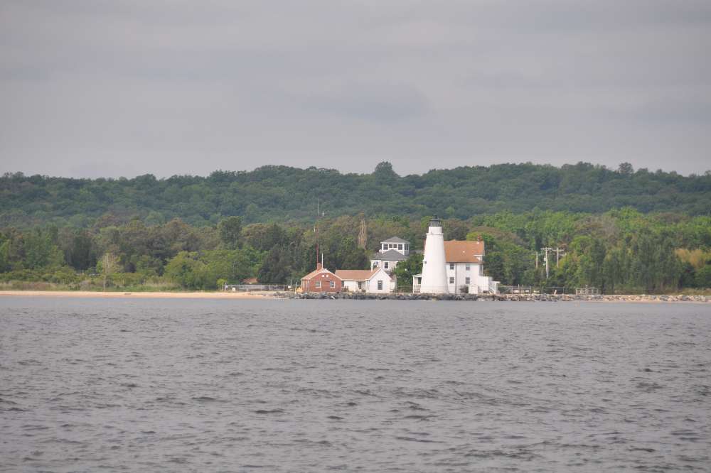
38:47.151 N 076:13.217 W We began the 50 mile journey to St Michaels at Yesterday the system accepted a route upload but today only waypoints. The analogue wind instruments show more or less correct speed and direction, but the digital read out gives us a wind direction which is approx180 degrees out and a wind speed which is high by a factor of 2 or 3 time. It thinks the wind is South Force 6 when in fact it’s North Force 2 or 3. I have tried the usual switching everything on and off a few times to no avail. I have done a factory data and system reset on Raymarine also to no avail apart from spending an hour with the manual to re-set everything up that way we like it. We can manage with what we’ve got. The MaxSea program on the PC is fine. I suppose it gives me something to do, but I would rather be reading my book. These anomalies have happened before, and mysteriously disappeared. To paraphrase Yogi Berra: “It’s data view all over again.” Of course it turns out the the fact that the system thinks the boat is going backwards means that it is adding boat speed to wind speed to calculate true wind, and you can’t go to a waypoint. So I recalibrated the electronic compass by making a couple of slow 360 Degree Turns and entering a GPS Course Over Ground and making an alignment correction to the read out and now the boat is pointing correctly and we can go to a way point. The heading vector which is a very useful visual aid has disappeared and no amount of button pushing will get it back. It has also stopped displaying AIS (Automatic Identification System) on the chart plotter. Maxsea on the PC still gives us AIS. It is turning into a pleasant day, much warmer than of late and the sun is trying to poke its way through the cloud cover. We’re motoring into 4 knots of wind, a big improvement over yesterday. We arrived at St Michael’s at I’ll explore the town tomorrow. |