|
07:37.887S 126:25.398E
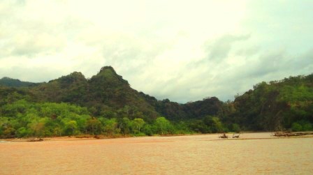
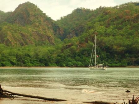
Wetar, river mouth
anchorage
Tuesday 7th
September
Captain’s Log: Tuesday 7th
September - towards Wetar
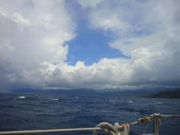
Rained very heavily all last night and
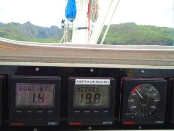
awoke to grey skies left at about 0630 another windless day with lots of
drizzle and light rain. By 1100 the sun was out and we were sailing along
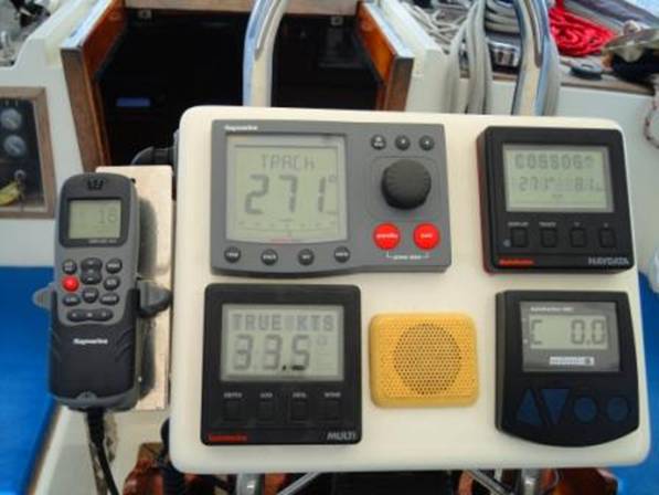
nicely with about 8 knots of true breeze making 6.2 over the ground. As we
approached the headland to Wetar Island the wind gradually built to 33 knots
true from astern and we were surfing along then the island lived up to its
name - it poured with rain for about an hour.
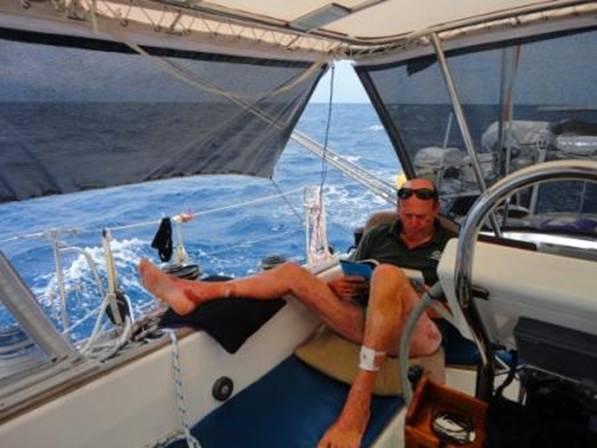
David taking it calmly with his foot
up in the meantime, no big waves!
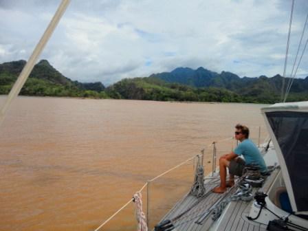
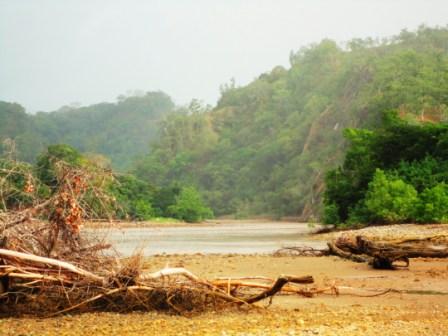
By 1550 we were anchored just off a
river mouth in about 15m of m
muddy water. The river mouth itself
showed a depth of 100 Metres, but motoring just past it gave us a better
anchoring depth of 20 Metres, with a very sharp steep shelving large pebble
and sand beach to land the dinghy on.
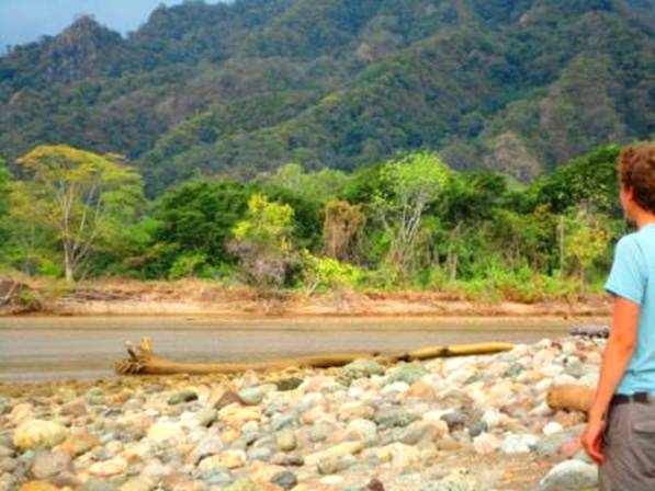
This place is deserted with no sign
of life other than a white bellied eagle sitting on the branch of a tree, one
of several which had been uprooted and dropped on the sand bank at the mouth
of the river.
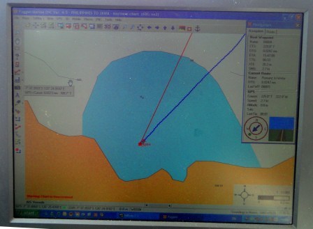
Our electronic chart gave us little idea that we were anchored
close to a river mouth, or that it was 1000 Metres deep as we crossed the
mouth of the river! But we were given the anchorage way point by another
boat, so it was worth the try, and we were successful in finding it. A
couple of other small local boats with a cabin also came and anchored nearby
for the night, as they had been unable to motor their boats into the 33 knots
of wind we had around the headland, and had to turn back. They each had
about 6 people on board
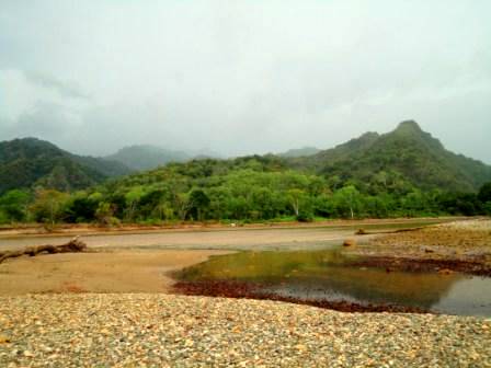
A trip up the river into the
mountainous valley looked intriguing, but after the heavy rain and the sight
of a wrecked fishing boat at the mouth of the river was enough to signal that
perhaps it was not a good idea, with tree debris no doubt cascading out of
this deep river to clog up our outboard motor!
Position 07:37 {CHANGE TO AT} {DOT} 885s 126:25:.398e
Distance run: 58 miles average speed
6.1 knots
|