|
08:16.403S
120:35.611E
Linghe, Flores Island
Wednesday 15th
September
We left at the crack of
dawn as we had a long 77 mile journey along the island of Flores today.
We used the mud map from 101 anchorages, which seemed reasonably more
accurate than our chart once again. We threaded our way past the
headland and found that a reef was right across the bay, so headed towards
where the mud map seemed to show a reasonable anchorage, close to an
enclosing reef on two sides, just off a sharp drop off. We dropped the
anchor in 17 metres, and the boat settled back into 30 meters of water.
But the swell was minimal, and we seemed to be quite comfortable with just a
slight breeze to keep us cook. Ollie swam out to check how deep the
coral shelf was, and reported back that it was only about 1.5 metres, not
enough for us to anchor onto.
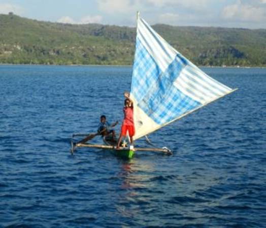
It was not long before the
‘sea urchins’ came out in their sailing canoes to see if we had
any exercise books, T-shirts or hats for them:
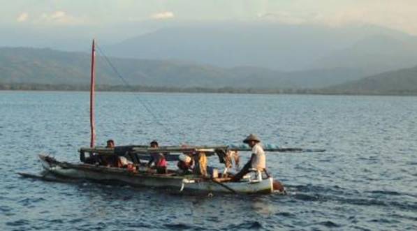
This
fisherman took a good look at us whilst he motored back to his village
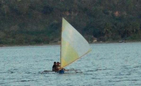
These
little guys just got pencils and sharpeners and sweets, we had run out of
everything else!
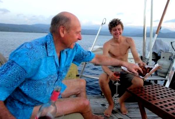
Meanwhile
Ollie had concocted a delicious Greek appetizer which he had fried for
us to enjoy with our glass of rose at sundown – what luxury!
|