|
25:17.748
S 130:54.619 E
17th
July 2007-07-23
The
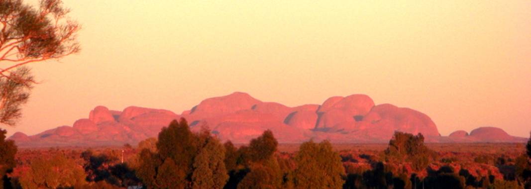
Olgas – Kata Tjuta National Park in Central Australia

Very
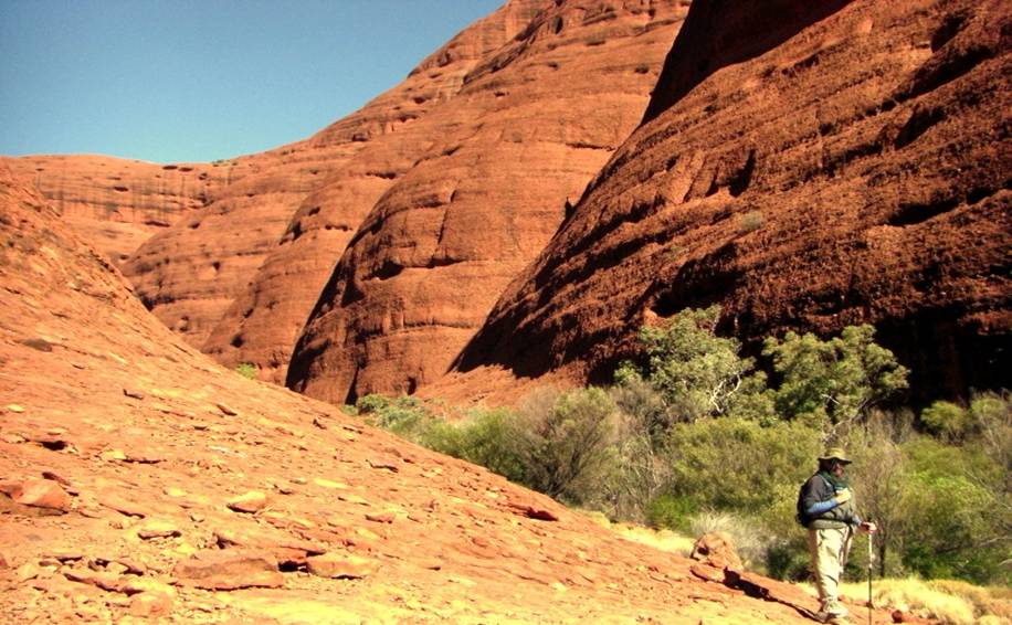
close to Ayers Rock (ULURU), the Olgas are more impressive to walk around and
through, as they are not formed
from
the same type of rock.

Kata
Tjuta and Uluru lie near the southern margin of an area geologists call the
Amadeus Basin, a depression in the earth’s crust formed about 900
million years ago. It received layer upon layer of sediment over several
hundred million years, which then stopped 300 million years ago.

Bacteria
and algae were the only life forms which helped break down rock of the high
jagged mountain ranges, which had formed from crumpled and buckled sediments
550 million years ago and then uplifted.

Huge
amounts of sediment washed away when it rained . The remains formed the
eroded tops of the
Mountains
from different parts of the sedimental layers.

A
broad valley developed between the two rocks, and filled with river sands and
swamp deposits 65 million years ago, including thin layers of coal. The
Australian climate was wet then. It is only during the last 500,000 years
the climate has become drier, covering wind-blown sand over these mountain
tops.
 
This is just visible tips of huge
slaps of rock which extend far beneath the ground, possibly down as far as 5
or 6 kilometres!

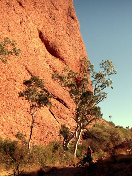
We both had to wear our
fly-screened hats to stop the things flying into our face and mouth whilst we
did the 9 km walk across and
Through these boulders.
|


