Fitzroy River and Rockhampton
Blue Hound
Phil Marks & Rosy Jensen
Thu 20 Apr 2023 03:37
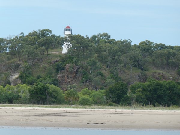
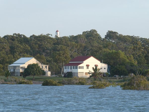
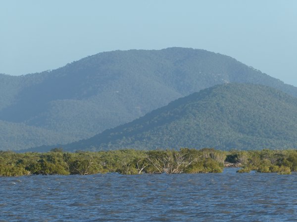
We opted to take shelter in the Fitzroy River from the strong southerly winds that prevented us continuing south. Anchoring off the lighthouse at Sea Hill, we waited for the evening tide to cross the bar into Pacific Creek. Sea Hill was once an important pilot station and there are still some cottages along the shoreline. Pacific Creek is lined with mangroves and felt very narrow for us, after anchoring in ocean anchorages.
As the strong adverse winds were expected to continue for at least 10 days we decided to try to reach Rockhampton, 30 miles upstream, the beef capital of Australia, and Rod Laver's home town. It was spring tides and if we worked the tides we hoped to achieve this. The delta is a maze of creeks, with options of routes but the main Fitzroy River had the deepest channel.
5,000 ton ships enter this river to load salt at Port Alma, but from there on the pilotage is more challenging.
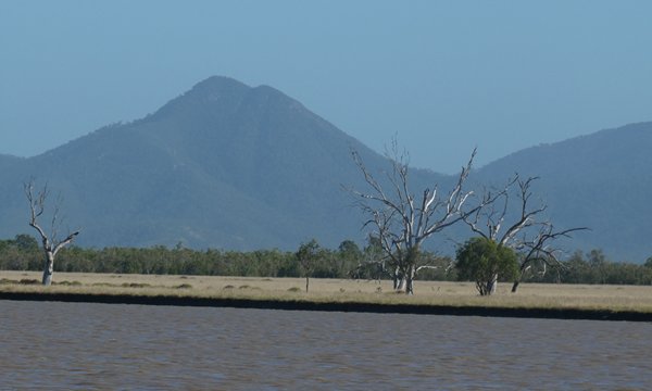
We left Pacific Creek on the morning high tide and anchored in Casuarina Creek, ready for an early start the following morning at false dawn. The Pilot Book showed a small drying area at Rocky Point about 8nm up the south channel. HW for the morning tide was 4.9m and we passed over the area with 4.1 on the echo sounder an hour before HW. After another hour's motoring we anchored off Pirate Island in Winding Reach, surrounded by pelicans, ospreys and other bird life.
Another dawn start, the pilot book advised keep in the middle of the river, there are also half tide training walls in some areas, and after yesterday's success we felt confident. It was short lived as rounding the corner at Brown's island we firmly went aground. Which way was the better water? Navigator said to port, the helmsman wasn't convinced! Although the water level was rising, there was 2 knots of tide pushing us on the bank! Half an hour later we had found the deeper water (to port) and continued on to anchor off Gavial Creek just south of Rockhampton town.
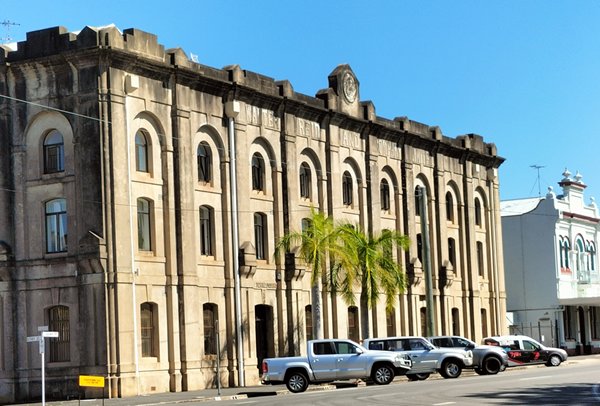
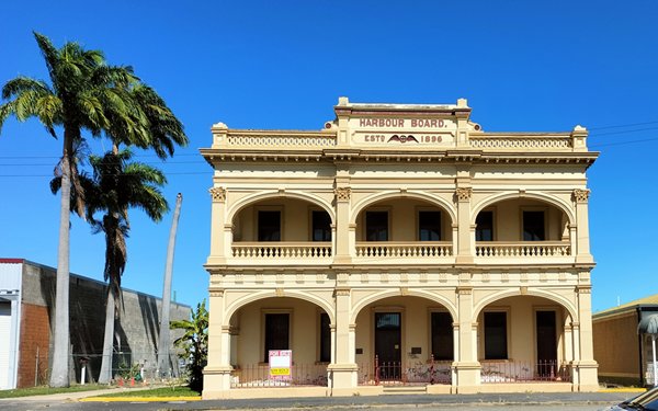
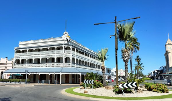
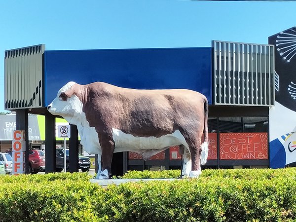
The city has wide streets, with many unchanged historical buildings along Quay Street, and numerous bull statues. The river was found by 2 brothers circa 1853, who were looking for grazing for their sheep, subsequently establishing the town and using the river to transport the wool initially to Gladstone.
There isn't a fuel dock, jerry cans again from the fuel station 2 km from the landing jetty. After several enquiries we enlisted the help of Gary, who had a workshop next to the fuel station. He very kindly helped Phil and 160 litres of diesel with his ute (pick up truck).
A week later and it was time to head back down the river, the tides had changed to neaps, and we would expect almost 2 metres less water at HW. Rocky Point was going to be a problem. The pilot book showed an alternative route, and made towards the two red buoys marking the passage. A fishing boat came hastily towards us, Brad a mud crab fisherman, told us 'don't follow those red buoys they have just blown there!' We headed back to Rocky Point to follow Brad's advice keep away from the green buoys, stay close to the bank. We grounded 3 times, once for an hour, Brad joined us again 'get closer to the bank'. We were so close we felt we could step ashore!
Photos: Along the river
Lighthouse at Sea Hill
Old cottages in Pacific Creek.
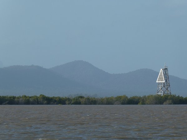
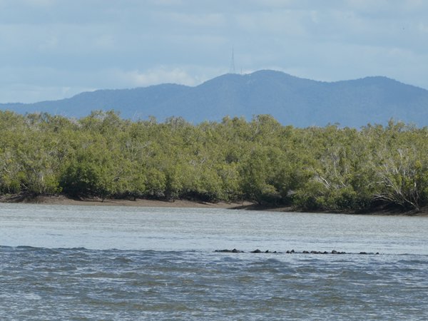
Various along the river, one of the many steering marks, half tide training wall.
Pelicans feeding, catching the flying sprats
Close to the bank
Photos: Rockhampton
Historic buildings
One of the bull statues
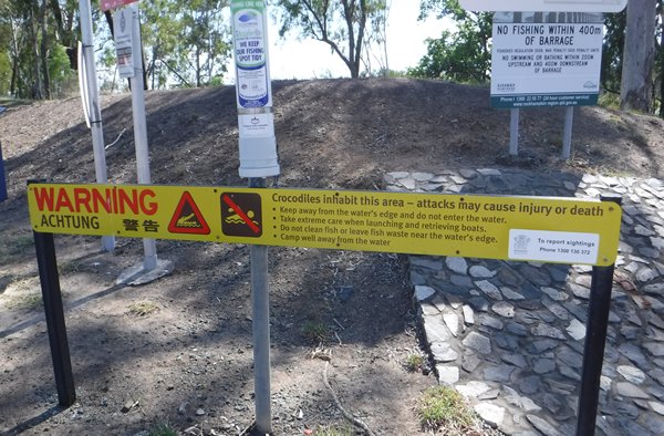
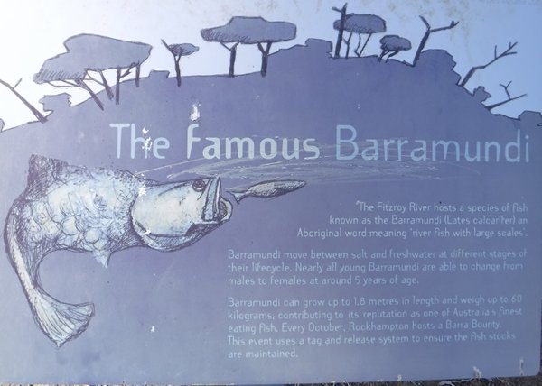
River signs
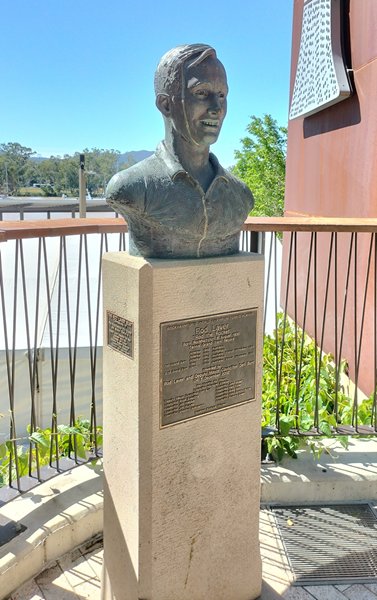
Rod Laver plinth