Saturday 16th August; off to the Hornstrandir

Awelina of Sweden
James Collier
Sat 16 Aug 2014 19:35
|
66:18.55 N, 22:28.20 W
We woke to a lovely morning and rising barometer, as forecast.
Although we'd planned an early get-away it was 12 before we actually cast
off after a little wander around and a few chores. After motoring out of the
port we tacked in a good breeze from the N round the headland into the
Jokulfirdir. The Hornstrandir is our key goal in Iceland as it's described as a
remote wilderness in the guidebook, and is an uninhabited peninsular in the
extreme NW with no roads and only a tiny handful of summer huts.
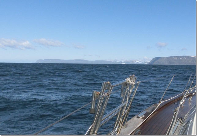
 Hornstrandir about 10 miles ahead; snow and glaciers on the tops.
 I can just smell the north...
We had a choice of 3 fjords: Hesteyrarfjordur, Veidileysufjordur and
Lonafjordur. The first two are charted and more visited, but we chose the last
as we could pronounce it.
Actually it's more sheltered from the SW and we expect that the wind,
despite being from the north at the moment, will come from the SW by tomorrow
afternoon. All are open to the SW to some extent anyway but Lonafjordur has
eyris either side of the mouth which we felt would give some protection. The
computer logged depths as we tacked up and we will process them and try to make
an electronic chart from the data. In this fjord there are 5 anchorages
possible: behind each of the eyris, and in three arms at the head. We chose the
eastern-most arm which is called Sopandi according to the Icelandic OS map (we
wish. This one is printed on Izal, is of varying scales and has silly grey
shading rather than proper contours. But what the heck, it's only twice the
price of an OS).
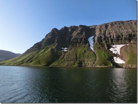
 Our anchorage in Sopandi.
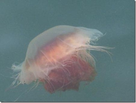
 Which was full of enormous jellyfish of many types.
|