Gybe-oh again
Stravaig'n the Blue
Wed 14 Oct 2020 10:38
Position: 39.04.41 N 009.33.46 W (18NM SW of Peniche) Position timestamp: Wednesday 14th October 2020 11:00 BST (UTC+1) We are within mobile phone range of the Portuguese coast which has allowed us to pick up email, grab a detailed weather file that covers the rest of the passage to the Canaries, download some podcasts, check FaceBook, and post this blog entry containing some photos. Narrative to follow later today. Weaving our way through the north / south shipping lane at 05:09 this morning. Zoomed out like this it looks cramped but there was probably at least 3 miles between us and the two ships closest to us, above and below. The rings around us have a 10 NM radius.  We are having to use my ancient iPad mini as the below decks chartplotter because the chartplotter app isn’t compatible with the latest iOS that Linda is running on her larger iPad. 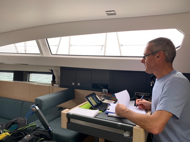 Attaching the Furlstrøm at the tack - not something I’d want to do in big seas.  The Furlstrøm at work.  Tanking along. 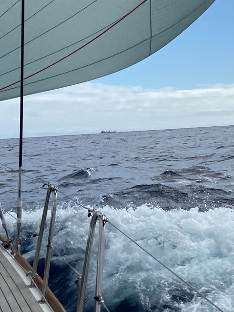 No, not ear warmers; it’s a bluetooth headset and microphone that saves us having to shout above the wind and the waves. 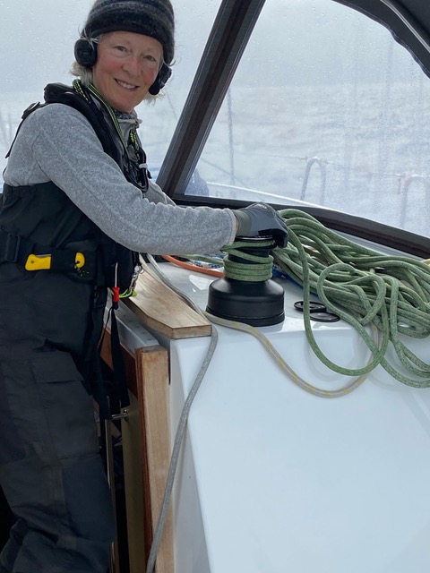 Gosh, it’s Guernsey Gache with Guernsey butter. Mmmmm. 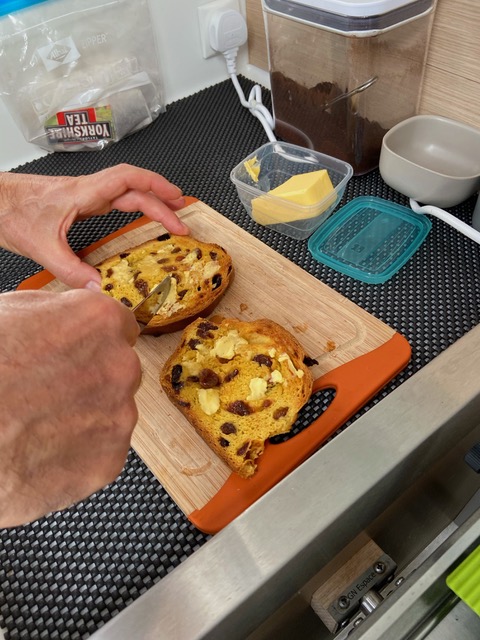 |