Passage to Cheasapeake River position 39:30.47N 75:54.34W
Symatchmaker
Tue 6 Oct 2009 12:25
|
Rounded Cape May into the Delaware at 1800hrs the
evening of 4th Oct...
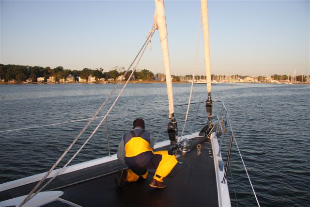
Day 3 Into the Upper Cheasapeake
Midnight saw us at the top of the Delaware river,
and we turned SW into the wide C&D Canal a 12 mile long sea level canal
linking the Delaware river to the Cheasapeake. It was opened in 1829 at a cost
of $2.5M. It is over 450feet wide and the bridges are 128 feet - Matchmaker has
a water level clearance of 98 feet and as we went under the bridges we all held
our breathe.... in the still evening with full moonlight and 3 meters of fog
hanging on the water it was a mystic sight!
At 00.30hrs we heard the slow drawl of the night
watchman at the railway bridge annouce the lowering of the rail lift bridge. We
slowed right down and the favourable tide still pushed us along at 4 knots.
After 20 minutes the same dull voice confirmed "Draw bridge open" and we motored
through. We entered the Elk River - mile zero of the Cheasapeake
Waterway.
Sylvian country - gunkholes catfish and reedy
shoals and oak tree hillocks. All in a silky moonlight.
Fog got really thick along the banks of the upper
Chesapeake. We motored slowly down the Elk river the ebb tide giving us a
helping 1.5knots under the keel. Out into Chesapeake bay proper and 48 miles
later rounding upinto Annapolis and Bert Jabis Yard.
All very still and quiet... beautiful crystal cleat
October morning.
Scot cooked up the "Matchmaker"
Special Breakfast - a subtle combination of Scrambled eggs Turkey strips
American cheese and hash browns... yum yum.
Passage 386 miles - 39 hours .... very
fast!
|