Delivery trip from Tromsø - Bodø 11th - 13th August 2012

Awelina of Sweden
James Collier
Tue 14 Aug 2012 14:54
|
67 17.00 N, 14 22.00 E
Saturday August 11th
Having left Awelina 10 days previously tied up on the dockside in her
pay-and-display berth we were glad to see her lying intact and unchanged in the
old harbour on arriving at midnight on 10th August. By coincidence, the adjacent
berth was occupied by the Belgian boat we’d seen several times on the way to and
in Svalbard. The three pots of herbs which we’d left in the cockpit were growing
well but there was a slight moment when Fe found a port Navigation light on the
back deck which had obviously been cut free from a boat. An anxious examination
of the foredeck revealed it was not from Awelina at any rate. We put it to one
side as an unexplained mystery and took the chance to have 4 hours sleep before
setting off at 5:30 am (Norwegian time) to head south down the
Straumsfjord.
As we were leaving a chap surfaced from a Norwegian boat at the near end of
the dock. "Morning", He hailed us, asking "did you get the spare nav light
I left you? I noticed you have that type and I have no further use for it." How
kind; no need for that red Woolworths’ plate any more!
We had the wind on the nose again and we started to realise that weather
conditions in the fjords are quite unpredictable. The sails are full one minute
flapping the next. There is an awful lot of funnelling of the wind - meaning
that as you change direction to follow the curves of the fjord the wind also
changes with, or rather against, you. However the scenery more than made up for
the contrary winds (nothing above a force 4- 5 by the way).
The Norwegian marine authorities mount an awful lot of their navigation
marks on sticks, and there were a plethora of them at each bend in the sound.
Working out which way to go was a large part of the navigation. The tides also
gave cause for concern - although searching the net and available literature we
hadn't been able to find much information about tidal stream times, directions
and strength in the fjords except that there were likely to be several tidal
gates and possibly streams of up to 8 knots. Luckily we had set sail at the neap
time of the month meaning the streams might be a bit less. This was proven right
as time passed although not without a few nail biting moments of "how strong is
the tide going to be". We also tried out the chart plotting software using James
laptop - the features and zoom options allow more information on the chart but
can prove quite stressful when needing information quickly. Although a great
addition to a set of navigation tools it does not quite replace the traditional
chart and pilot book in our opinion.
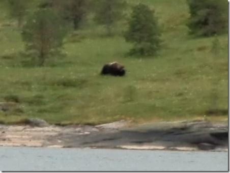
Just south of Tromsø we were delighted to pass the musk ox reserve; a whole
island (Ryøy) has been set aside for these rather bison-like beasts to roam
free. They are substantial animals and famously bad tempered so "no landing"
signs were posted all along the shore of the island. We were lucky enough to see
two of them on the beach as we approached and we followed their progress all
along the east side of the island until they vanished from view.
Over to the west we could also see the site where the Turpitz was sunkin
1944. We then went through Malangen and down the Gisundet, which has lots of
pretty villages on each side. Gisundet exits into the Vagsfjord, during the
passage of which Fe baked bread and made cheese scones.
We'd worked out that the trip to Bodø was around 225 nautical miles meaning
that we'd need 2½ very long days to reach our destination in time to tie up,
book the boat in and make our flights on Monday evening. The previously
mentioned tides while less in strength appeared (with the wind) to be against us
for the whole of the first day. In fact while tacking down the Vågsfjord we
realised we were not going to make our goal of anchoring for the night south of
Harstad. Instead we settled for a tiny lagoon on Kjøtta island, about 5 miles N.
It is a really quiet little place and a lovely anchorage but as we had the hook
down at 10.30 pm we were all too tired after the 18 hour day to notice much.
Supper (roast lamb) and bed for 4 hours again.
Blurry picture of a Musk Ox (on maximum zoom)
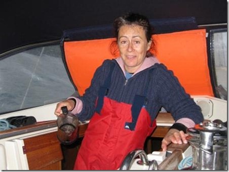
 Fe needs more coffee or more sleep!
 Fast ferry
 Sunday 12 August
Four hours sleep for the second night in a row had left us feeling rather
grim - so we split the work up. Mike stayed tucked up in bed while James and
Fiona navigated out of the anchorage across the rather shallow bar. James then
also went back to bed allowing Fiona to enjoy the sunshine alone. After a boiled
egg breakfast in Tjeldsund, (the eggs were vintage Longyearbjen and surprisingly
were fine), Mike and James took the boat all the way through the sound as the
visibility gradually deteriorated. We knew there were high mountains all round
from the way the wind funnelled, but only got occasional glimpses.
On entering the wider Vestfjord, which is the sound between the Lofoten
Islands and the mainland, the visibility deteriorated further with occasional
showers and a spitting mizzle that got everything on deck rather damp. The tide
here seemed to be at least a knot against us and with the light wind making
sailing ineffective we found ourselves motoring at 2000 rpm and being unable to
make more than 4 – 4.5 knots in rather a chop. However we couldn’t complain
since this area is infamous for dangerous waves (even the admiralty chart has a
special warning printed on it), so we got off extremely lightly.
A quick calculation showed that our intended anchorage south of the port of
Grøtøy would not be feasible since it would be dark several hours before we
arrived. Instead we chose a small anchorage between a couple of islets and
skerries about 5 miles north of Grøtøy as our destination for the night. As we
made slow progress south increasing swells cut our speed even more and the
visibility decreased to the point where we had the radar in case there were any
ships. We also realised that the unusually high engine revs meant that we were
burning more diesel than we had counted on. The three of us syphoned one of our
spare 25 litre jerrycans of fuel into the tank, but on measuring the new tank
level we were dismayed to find it had hardly improved from near empty. The fact
was we needed to top up with diesel to continue south – and we made the decision
that we would have to refuel in Grøtøy tomorrow morning. The anchorage was
reached at about 10:30 pm again – and after such a long day rolling about was
very pleasantly flat calm in a lovely location between some skerries. We planned
to wake and leave around six to motor down to the port as we are not sure what
time the diesel pier will open. Almost a lie in!!
Moody scenery in Tjeldsund
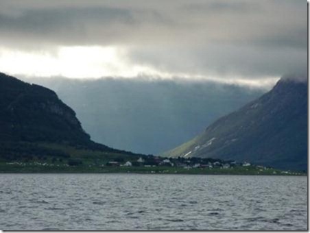 Dramatic scenery in the Lofoten Islands
 Anchorage in Vestfjord
 Monday 13th August
We guessed that the earliest that the little town of Grotøy would wake up
and start selling diesel would be 8 am so we set off after a peaceful but short
night getting there at 7:30. We found it completely asleep, not a soul stirring
despite it being a weekday and the day most Norwegians return to work after the
summer holidays. We did find the fuel pump but it was locked and we couldn’t
fill up until 10, which meant that all contingency for getting to Bodø and
flying home this evening had evaporated. It’s 35 miles of intricate pilotage
through the countless skerries and islets. But to compensate it was becoming a
beautiful day, and we could now see the mountains and across 40 miles of the
Vestfjord to the Lofoten islands.
Eventually the town stirred, and after refuelling and using the time to do
a few chores while we waited we set off again. Our passage south was somewhat
delayed as we could not decide if the overhead electric cables across our route
gave sufficient clearance of the mast; it would be very close. The pilot book
said 23m, an d our mast is about 18, but then there are aerials etc so there’s
no room for error. We weren’t confident of the measurements, the clearance being
the difference between two large numbers, both with some scope for measurement
error. After circling around we opted for the safe route by returning back out
the passage north and going around the outside of Grotøy island, a detour of
only about 3 miles. This caution was rewarded with a magnificent passage
full of intricate pilotage between beautiful islands and skerries. The weather
was spectacular and we had stunning views and high mountain ranges running
inland revealed themselves. To top all this off we were lucky enough to see
several huge sea eagles flying and roosting in the islands. These birds seem
much bigger than their counterpart in Scotland - we estimated their
wingspan around 5 feet, plus they are totally unconcerned about the proximity of
our boat so we had some close up views.
As we re-joined the main traffic route south our course straightened out
for several miles. The wind being non existent we chanced a swim off the boat.
One at a time Fiona and James jumped in and had a quick swim to the front of the
boat and back. Mike was not persuaded by the lovely hot weather however and
elected to remain on board, albeit wearing shorts. The water was surprisingly
refreshing and not actually cold despite us still being 60 miles north of the
arctic circle.
The remaining 18 miles of the passage took us past the rugged island of
Landegode which has many peaks falling steeply into the sea – there were no
signs of habitation on this island and it actually reminded us somewhat of the
Isle of Rhum off the west coast of Scotland. We had an uneventful passage until
at Bodø where we were dragged into civilisation with a bang; a huge marina, busy
port and many cranes/building sites on the water front. After some confusion and
the usual pay and display arrangement we were moored safely on a visitor’s
pontoon behind the fuel dock. Handy for filling up when we return. We headed off
to make the most of the last of the sunshine by having a beer or two. Mike was
shocked at the cost – around £8.00 for a pint. We nursed them awhile before
heading back to the boat to clear up and pack since tomorrow is another 5:30 am
start back to the UK. Thank you Vanessa for sorting out the rebooking of our
flights– you are a star.
Awelina tied up alongside in Grøtøy
 Grøtøy ferry and fuel dock – not a soul about
 View across the bay at Grøtøy with early morning clouds
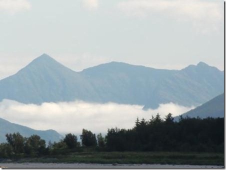 Smokey mountain
 Sea eagles survey the passing traffic: “’oos that down there then?”
 We think the trolls live here
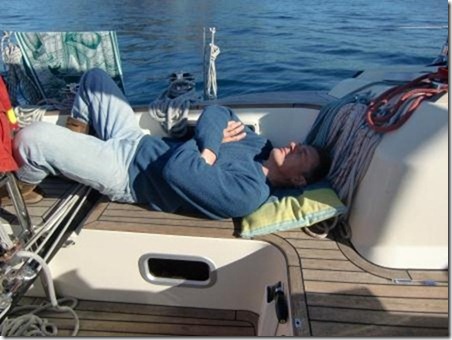
 Sleepy skipper
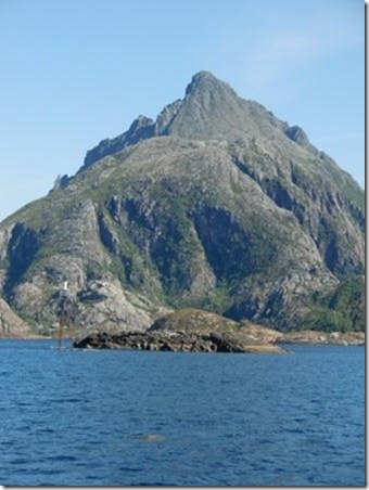
 Too much scenery to watch
 Smiley Mike declining the opportunity for a swim
 This pint cost 8 quid and is not even full !!
 Bodø marina in the last of the midnight sun. Winter is only 8 weeks
away.
 |