Day 18 At Sea
Clearlake II
Graham van't Hoff
Mon 21 Nov 2011 12:10
|
Today we wanted to say Hi to 3 schools – Josh’s at Donhead, Rebecca’s at
Ursuline Prep, and where Chris’s sister Mrs Duncan teaches - Dove House School.
Hi to all of you and thanks for watching us!
Current position "26:32.50N
16:59.42W". Looking at yesterday’s blog I think there may have been an input
error in the position – apologies! Anyway, we’re working our way south towards
the Cape Verde islands – we won’t go quite as far as them, but make a turn to
the West about 200 nm [nautical miles] away from the farthest East island (Santo
Antao). Since yesterday’s blog we had lots of changing fortunes; as we sought to
hoist the spinnaker we found a twist in it – it the got wrapped around the
mainsail lines. We managed to get it down safely, re-pack it and then launch –
but by this time the wind had died such that we weren’t able to safely fly it
(otherwise one risks tangling it and tearing it) and had to sit for an hour or
so at 1 knot or less. Later the wind came up, and then down again in the middle
of the night, then back up. We now have the spinnaker up and are making 7-9
knots plus.
We got our first position from the ARC Race Control. It looks like the
gamble we made staying close to Gran Canaria worked in the sense that, as far as
I can tell from the jumble of Lon/ Lat positions of others I’ve been sent, we’re
towards the front of the pack – if well behind the serious racers (who
have serious racing boats and are heavily crewed for action!). We’re a 45 footer
but seem to have spent the night crossing paths with 50-60 footers. That said,
it looks like we’re more in the middle of the pack when they apply the handicap.
For this as a cruising boat our handicap looks rather aggressive, but no
matter.
For navigation we’re seeking to do everything this trip by traditional
means, i.e. position fixes from the land when it was available, and since then
we “dead reckon” which means plotting a position based on the course taken and
the distance travelled. We then fine-tune that by taking positions using
the sextant which measures the angle to a “heavenly body” – usually the sun, can
be the moon or other planets and starts. Having done that I need to wade through
pages of tables and calculations and hope I got it right. I took one “sun sight”
this morning which looks to be about 8 nm from our position (if I do a sneak
check with the GPS satellite position system). That’s pretty good going; let’s
see whether we can maintain it!
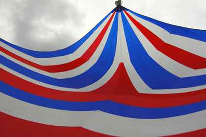
Attached pictures were taken about 30 mins ago and show us sailing under
spinnaker, in slightly lighters winds than we have now, but going along well.
|