Trip Update - 7th August 2008 Pornic, France
|
Position: 47:06.56N
02:06.94W
Pornic, We arrived in Pornic and were
underwhelmed to find ourselves put into a berth as far from everything as was
possible, in a berth which was designed for a 20-footer. I think this tainted our view of Pornic
marina, which is that it was overpriced and impersonal and in need of
modernization. However, the town was nice enough –
you walk along a footpath for 15 mins, past Bluebeard’s castle, into the
town. It is quite touristy – we
noticed that Pornic was mentioned in the Lonely Planet whilst Piriac was not –
but we managed to find the nicer part of town, up the hill away from the
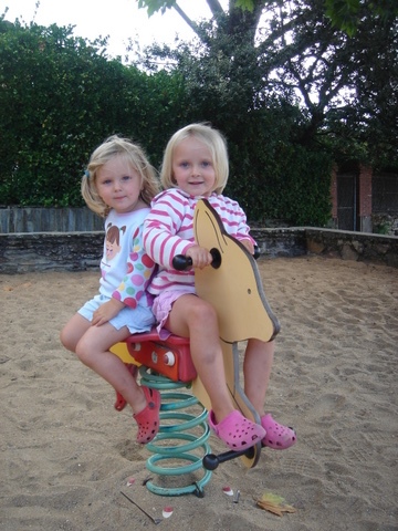
quayside. The girls in the playground at
Pornic
The walk from the boat to
town
As forecast, the wind really blew
and we stayed in Pornic for 2 nights.
During this time, we managed to sort out a few things that had been
starting to stress me. The boat
insurance policy, when I finally read the details, said that the geographic
coverage was “Down to 47 degrees North, thence bluewater voyage to The other thing that is concerning
me is that the Navtex reception has almost disappeared, since we left
Piriac. It is still receiving some
messages but not many. This is
concerning and I don’t know why it is happening. I have checked the aerial and the
connections at the back of the unit but there is nothing obviously wrong. I have
also set the stations to the relevant stations for our area but still no
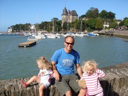
joy. Ollie & kids with Bluebeards
castle in background, Pornic
|