Safety
|
We heard a rumor yesterday that we were taking this trip
“without a life boat, or even life jackets!” Funny how those stories
get
started, probably a classic game of telephone. So I thought I’d write a
bit
about our safety precautions. We are taking a calculated risk in even
making this
trip, and there’s no avoiding that. But if we approach each day, each
little
step, with care and caution, I would say the overall risk is very low.
I think
the most dangerous part of the trip will be driving 1400 miles on I-95.
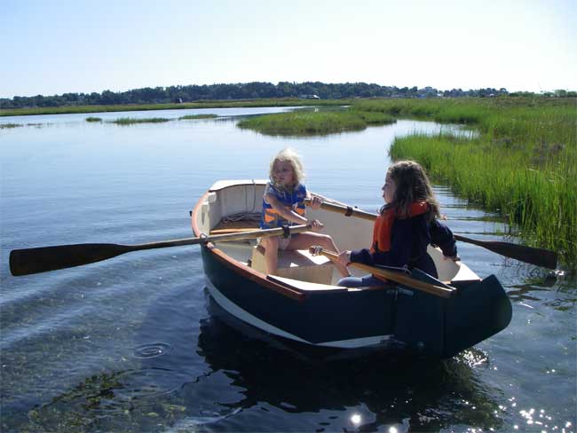
We are bringing life jackets. Our rule is (and always has been) that anytime you are up on deck in the cockpit, you must have one on. You can go below into the cabin and take it off, but before you come out, you must have your life jacket on, even on glassy calm days. This goes for kids and adults. Further, we recently installed a system of jacklines and tethers and safety harnesses. You wear a harness of heavy-duty straps on yourself, over your life vest, and this harness has D-rings on it, which you clip with a carabiner to the tether line. The tether is a 6-foot length of nylon strap (5000 lbs breaking strength) that has clips on both ends. One end clips to your harness; the other end clips to the jackline, which is a length of heavy nylon strap bolted to the deck of the boat, and another one along the cabintop for sail handling. We will clip in on any major crossing, and in and heavy-weather sailing. They should prevent anyone from falling overboard, or if they do manage to fall in, they won’t get farther than 6 feet from the boat. It’s true that we are not bringing the traditional inflatable emergency life raft, for a few reasons, first among which is that our boat is very different from a normal yacht: it has no lead keel. A traditional keel sailboat, if holed, will sink out from under its occupants, sometimes in just a few minutes. Our boat gets its “righting moment” not from lead but from water ballast tanks built into the lower portion of the inside of the cabin. If it gets a hole in it, it can fill up with water and still float (quite low, but still floating). The wood of the hull alone would keep it afloat, even taking into account the dense objects on board: the battery and the outboard motor and other smaller sinkable items. But beyond that, I’ve built in about 500 lbs worth of flotation in closed-cell foam board. Plus, if we sail with the forward ballast tank empty, that’s another 300 lbs. of flotation. If our boat was holed, it would not be pleasant, but we would still have the hull to sit on as we awaited help. The other considerations were space (of which we have little, and which an inflatable raft takes up much), and expense (renting a raft would have cost us over $1500). However, if I felt one was necessary for our safety, we would have one, no matter what the cost. Beyond that, we tow our dinghy “Amazon” along
behind us. So
. . . we do have a spare boat, of sorts. It’s an 8-foot long, very wide
and deep Jim
Michalak design called the Vole. It can hold all four of us easily,
with room
to spare. It always has oars in it, in case we need to retreat to it in
an
emergency. It also has a mast, sail, and rudder we can set up, which
would
allow us to sail to safety. Granted, we would not want to be out in bad
weather
and breaking seas in such a tiny boat, but it is there, and it, too is
wooden,
with enough foam built in under the seats that it will never sink, and
we could
bail it back to floating if it ever got swamped.
One other aspect of our safety is weather watching. We don’t want to be caught out in a gale, so we will only make our larger crossings when the forecast is for moderate winds for at least two days ahead. We have a shortwave (single-sideband) radio receiver on which we can pick up weather reports every day on particular frequencies at particular times. When near civilization we can also hear weather over the VHF radio, either direct from a broadcaster or passed among other boats. Also, as long as the satellite phone agrees to make data calls, we have an email subscription (free, through Saildocs.com) for a daily text weather report for the Bahamas area (AMZ080), plus a custom GRIB file sent to us each day by email. A GRIB is basically a low-bandwidth weather map, and it will show wind strengths each day starting at
Lastly good charts and GPS. We have the Explorer Charts with us, and a handheld GPS (plus backup GPS), which between the two will warn us of any nearby reefs or dangerous tide rip currents. I have plotted out our intended courses for the big crossings, and saved waypoints in the GPS to guide us along the route. We will also use our charts each day to find the safest anchorage for the weather ahead. All of this equipment is only good if you know how to use it, and use it wisely. But we intend to do that. So . . . I hope no one worries too much about our safety. It will be our top concern every day. |