Au Revoir Fort Pierce - The Great Escape N26 46 W80 03
|
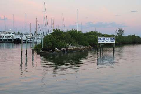
Au Revoir Fort Pierce – the Great Escape N26 46 W80 03 Three and a half years in Crackerboy Boatyard and a year
in Harbortown Marina now, finally, the great escape – the beginning of our
Caribbean Adventure - destination Grenada in the Lesser
Antilles. Following what seems forever planning we were finally on
our way and left our slip at 0730hrs on 1st November 2018. Following a previous aborted attempt to
sail down to Miami against prevailing wind and tide we decided the most prudent
option to get to Fort Lauderdale (our hopping off point for the Bahamas) was to
follow the magenta line and motor down the Atlantic
Intra-coastal Waterway (AICW).
Leaving Harbortown
Marina The
Intracoastal Waterway is a fairly straight chain of interconnecting channels of
water that provide an inland passage which stretches from Chesapeake in the
north and terminates in the Florida Keys in the South. The channel is very well marked with
buoys and navigational markers although we found that they were not necessarily
sequential. ICW aids to navigation show yellow
markings of either a SQUARE or TRIANGLE as well as the usual IALA buoyage
system. Going South SQUARES are
always kept to PORT and TRIANGLES always to STARBOARD. However, From Fort Pierce going South
the channel was marked with square green
markers with uneven numbers which were kept to PORT and red triangular markers with even numbers which
have to be left to STARBOARD.
(European sailors need to remember that the USA uses IALA B buoyage so
RED RIGHT). There
are also statutory markers which count down from mile 0.0 at Chesapeake and
stretch 1,243.8 SM (1,080.8 NM) South to Key West Florida mm 1243.8. Fort Pierce is at ICW mm 965.
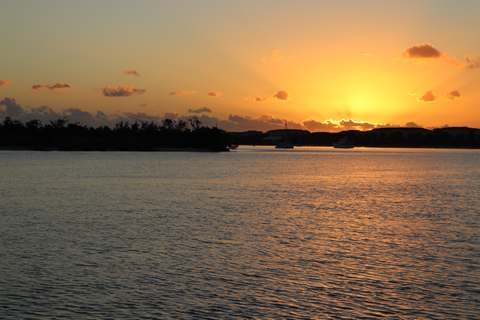
A
beautiful sunrise – Haigri making way towards Fort Pierce
Bridge Neither
Peter, Chris or I are used to cruising on inland waters so we researched the
trip as much as we were able. Our
main concern was the depth of water as Haigri draws 1.8m (5.9ft) and the ICW has
a Federal project depth of 10ft from Ft Pierce to Miami but only 7ft from Miami
south and west to Key West. As with
any navigational chart depths are only accurate at the time of survey and
channels can meander quite a lot so depths may be more or less than
charted. We also found the channel
to be quite narrow at times so less room for manoeuvre. When we were motoring down the ICW we
treated it as a blind navigation exercise in that if the depth dropped rapidly
we turned 10 degrees East or West until back in deeper water.
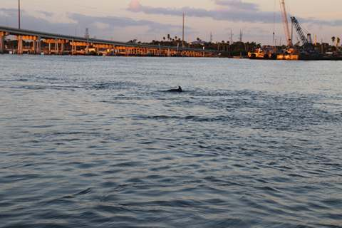
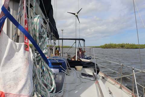
Indian
River dolphins saying goodbye to Haigri The AICW was a whole new experience for us and we looked
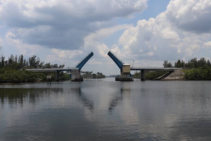
forward to navigating the four fixed bridges, three bascule bridges (bridges
which you phone on VHF Ch9 and request an opening when you arrive) and four
restricted bridges (bridges which open at specific times but which you also have
to call to advise you are waiting for an opening) on our way to Lake Worth.
Hobe Sound Bascule bridge opening on
demand for us
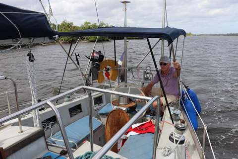
Chris at the helm motoring down
through the mangroves We made good time and went under Fort Pierce Bridge at
0740hrs and arrived at Hobe Sound Bascule Bridge at 1325hrs. After that progress slowed a little as
we navigated the various bridges
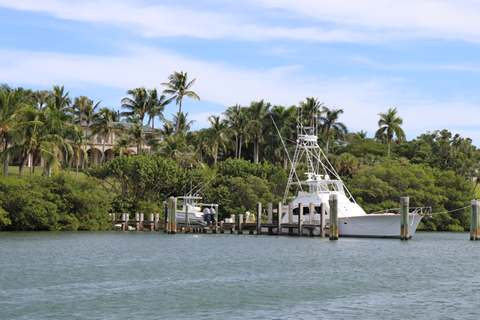
One of the beautiful mansions that
line the waterway with their own docks
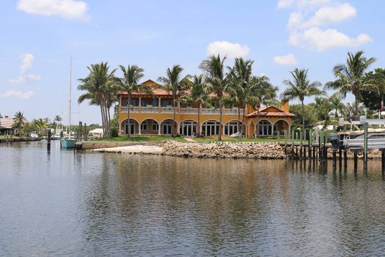
The AICW is a little akin to a
roadway for boats. A beautiful
house on the waterfront We enjoyed our waterborne road trip, seeing the
mangroves reminiscent of scenes from The
African Queen, the beautiful mansions on the waterways, large motor yachts
passing close by and the novelty of all the bridges. We finally negotiated Blue Heron Bridge
and arrived at Riviera Beach Marina at 1845hrs – an 11 ¼ hr
journey! |