Day 15: working hard in the sun; navigation

S/Y Cherish
Peter Gray
Sun 4 Dec 2016 17:23


All hands on deck for Will and Sven whose watch it is. Ali catches some rays up on deck during her R n R with a cushion and her book. Note the washing drying and the everlasting onions which made a bid for freedom halfway through our trip. Most were caught and the culprits banished below to the net above the nav station. Since then harmony has reigned.

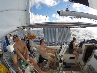
You might think that, with 2700 nautical miles (that’s 2,970 British miles or 4,641 km) to go, we’d just work out the direction and "go that way way”! Actually, it’s more complex, mainly because of the weather. We can’t motor the whole way (not enough fuel) and anyway it would be a dull and noisy trip. So we need to ensure that, so far as practicable, we are heading where good wind is going be - by the time we get there. Our star performer on this front has been our good old chart plotter - see photo. This shows the moment when we had just under 1000 miles to go. It also shows (non-techies switch off now): our latitude and longitude position, boat compass heading, bearing to destination, speed made good (VMG) to destination, ETA at destination, course made good over the ground and boat speed through the water. There are other screens that show even more data.


Then there’s the human component: Skipper Peter, looking  at the weather forecast, downloaded onto the laptop via the sat phone. A daily ritual, involving Peter and 1st Mate Anthony, plus anyone else passing and taking an interest. We plan 2-3 days ahead, working how to get the best value out of our fuel reserves, to motor between areas of low/poor wind. As mentioned in an earlier blog, we started with 710 litres of diesel plus an emergency reserve of 40 litres. We use around 2.5 litres/hr at our most efficient cruising speed, but also need to run the engine daily (even when there’s wind) to charge the batteries and make water. These last are more important than motive power, at the end of the day.