Touring ‘New Scotland’

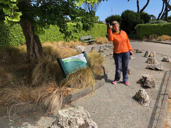
From Wanaka, we headed straight for Invercargill, about as far south as you can get without wetting your wheels. The landscape reminded us of eastern Scotland and many of the village names confirmed the origin of the early settlers. From Scotland they came, and through hard work moulded the land into something similar to the country they had left behind. My back was playing up so on the way I rang a chiropractor in Invercargill, and luckily he could fit me in that afternoon. We arrived in good time and since the city was not particularly noteworthy, headed for the large green area, marked ‘Queen’s Park’ on the map. It was a different world! Lush, shady avenues that seemed to go on forever. I left Franco to explore and checked in with the chiropractor who turned out to be from Chicago. The treatment went well, and as he cracked various parts of my anatomy, he regaled me with interesting historical facts about the area. Then at the end he blew it: “Climate change is a hoax,” he declared. I caught up with Franco at the entrance to the park where a panel mentioned a fossil forest donated to the city. I looked up at the trees. “I don’t understand, it may be a ginkgo (the only species left of an otherwise extinct tree family) but it isn’t 160 million years old.” I exclaimed. Franco was rolling around with laughter. “The fossil trees are at your feet,” he finally managed to say.
Kath oblivious as she nearly stumbles over a fossil tree stump We parked in the centre of Invercargill and walked down Main Street. It seemed to be on its last feet, so many shops were empty or relocating. At the corner store I enquired about a particular business. “Oh no, that one’s long gone.” I was told. We drove out of the city hoping to find a lay-by to spend the night but didn’t find anything suitable. Carol had told us about a phone app called ‘CamperMate’ which lists camping facilities all over NZ. It suggested a free site a short distance from the main road, by a pretty stream.
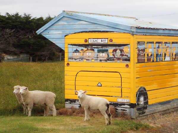
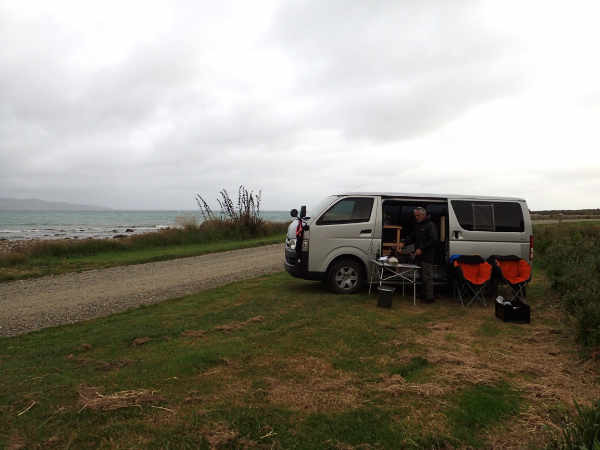
Glamping at a council run free site The next day we arrived at Riverton. We were going surfing. “Look at those waves!” Franco enthused. “But they are tiny,” I replied. “You’re so negative, they are a long way away. You’ll see!” They were quite close, and tiny, but further up the road, we found a point break, with perfectly formed waves rolling in. It wasn’t huge, but it was regular. When the sky is overcast, it is always harder to find the motivation to struggle into a wet suit, but once in the water, we had a great time. There was even a changing room and shower (cold water) on the beach, and opposite, a café serving a carrot cake to die for. Belly full, we drove 8km to Colac Bay, another surf beach, with a free campsite for self-contained vehicles.
Colac Bay bus stop
Colac Bay from our camping spot The next day, the sea was flat and Franco’s hay fever was terrible. The perfectly re-created Scottish grasslands were wafting tonnes of pollen into the air. We found a hill covered in native bush and went for a walk. It was good for the soul and even better for Franco’s eyes and nose. Birdsong filled the air as tui darted here there and everywhere, feeding off ‘flax’ nectar. Apparently a couple of local guys had declared war on introduced predators, calling themselves ‘Pestbusters’, they worked hard at reducing Australian magpie, stoat and possum numbers. It has paid off.
Endless hectares of introduced grassland
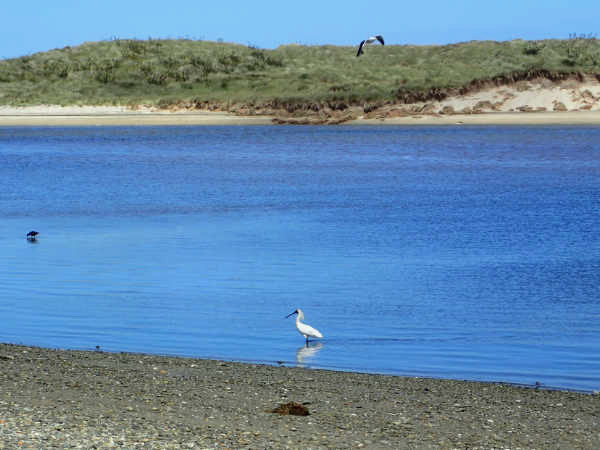
Native bush -what a contrast The surf forecast was abysmal so we moved on, back through Invercargill and towards the Catlins. At Fortrose we turned onto the coastal scenic route and spotted a royal spoonbill, foraging in the shallows.
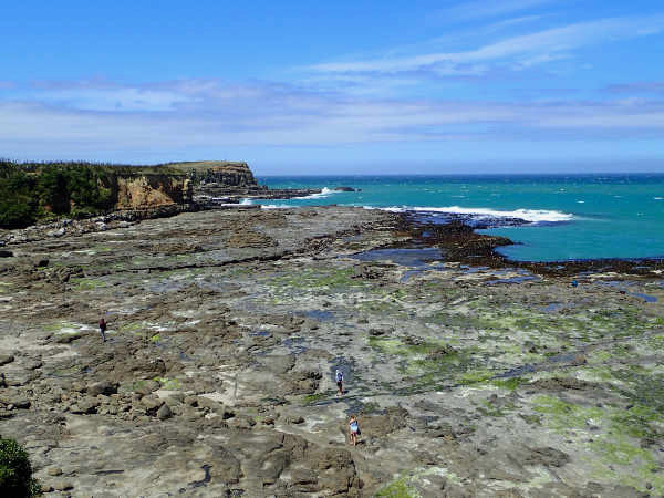
Royal spoonbill At Curio Bay we searched for penguins but they were probably out at sea or deep down their burrows.
Fossilised stumps of a forest at Curio Bay
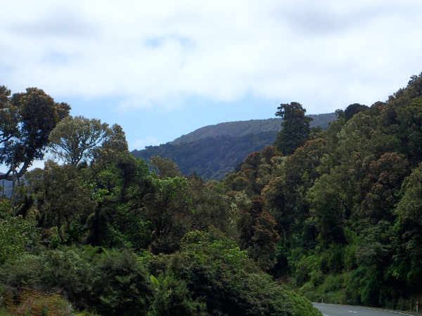
Fossilised log After Curio Bay, the landscape changed rapidly; the rolling green fields gave way to hills covered in native beech forest - The Catlins.
Beech forest of the Catlins
Tautuku Peninsula - the only place on the east coast where the native forest goes down to the sea At Purakaunui Bay, the Department for Conservation (DOC) has a delightful campsite, just up from the beach. While our fellow campers chose sites with a sea view and were blasted by the wind, we hid behind a dense belt of trees. Sea views are overdone! Instead we watched the dance of a dozen fan tails flitting in and out of the bushes.
Purakaunui Bay
Purakaunui Falls, on the way to Purakaunui Bay Keen to get off the tourist beaten track, we chose a two day loop walk along the Catlins River. In the car park, there was just one other car, belonging to a delightful kiwi couple out for a day walk. We piled everything out of the van and packed our overnight bags. The walk mostly followed the river bank with the occasional steep uphill. We were keen to spot a ‘mohua’ or yellowhead. This small native bird was still numerous when the European settlers arrived, but is now threatened and found in only 5% of its former territory. The Catlins is one of these rare places.
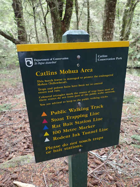
A DOC sign clearly stating the comprehensive ‘kill’ strategy
Franco on one of the swing bridges
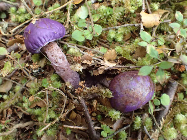
Purple mushrooms We were lucky, in the same tree, we saw a yellowhead and a fan tail, so we stopped for lunch to watch them. A couple of friendly people passed us. Tramping along, I suddenly realised I hadn’t packed my sleeping mat, it didn’t really matter as it was warm and sunny and the forecast was for more of the same. I told Franco and his reaction was as if I’d forgotten HIS mat. It was me that was going to be uncomfortable, yet he was quite annoyed.
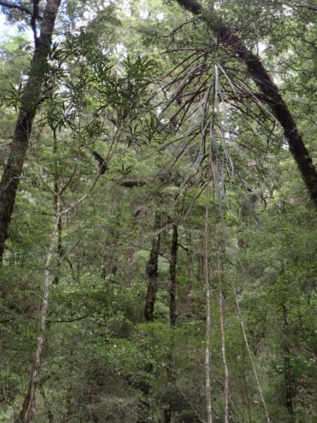
Catlins River The forest was southern beech and among the understorey, there were a lot of lancewood. These plants evolved when moa roamed New Zealand. The leaves, when the plant is young, are hard and waxy with serrated edges but once the trunk gets above moa reach (the largest of which were 3.6m tall), the leaves change to large soft ovals. Franco and I joked that by the time the plant realises there is no longer any risk from moa, humans will probably have worked out a way of reconstructing one from its DNA sequence, and lancewood will be wiped out.
Lancewood - juvenile form on right, mature form on left I walked on a bit further and realised we hadn’t packed the cooking stove! Now Franco was even more annoyed, but since he had the gas canister, he couldn’t blame it all on me. We had food and a lighter, I was sure we’d manage to light a small fire.
Our campsite Franco is rather adept at lighting fires and the truth is he enjoys cooking on an open fire. Not surprising since he published Tim Gent’s very good book ‘Campfire Cooking’. Maybe I should ‘forget’ the stove more often, that way I get a night off slaving around a hot stove!
Franco cooking The return route is along forestry tracks, which didn’t sound as nice as the path along the river, so we returned the same way. I was walking along a flat section talking to myself in Welsh (it’s coming back now that we aren’t speaking Spanish) and twisted my ankle. I hobbled the last hour back to the car park where Jumbo awaited patiently.
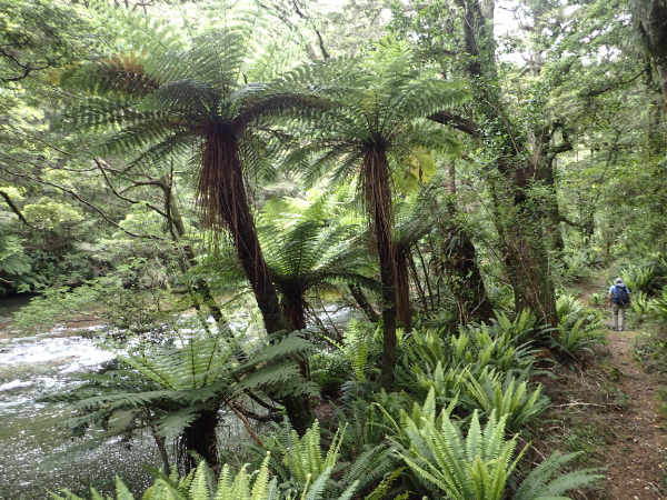
Tree ferns |
