Fort Pierce
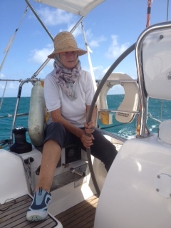
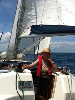
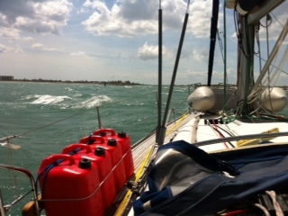
Fort Pierce Florida USA. 27:28.093 N 80:19.683 W Distance sailed 119 miles. Sunday 13th weighed anchor at 19.00 as planned and realized why North West Harbour is the most popular arrival and jumping off place for a passage between the North Bahamas and the US East coast. The anchor was so heavy with a muddy type sand that Anne had to clean it before she could get the anchor winch to lift it aboard. Fantastic holding there. Soon after heading out in a 15 knot easterly a Full Moon rose to give us great light throughout the night for the 50 mile passage across the Little Bahama Bank. Next day at 05.00 as Shelduck left the Bank she met very large ships making their way around the Bank in the deep water. I had departed Great Sail Cay near sundown to cross the Gulf Stream and arrive at Fort Pierce in daylight. The Gulf Stream crossing can be very dangerous with any touch of a Northerly. However, the 60 mile passage from the Bank to Fort Pierce was uneventful until Shelduck got to the maelstrom that is the entry to Fort Pierce. She was thrown around as the Easterly Atlantic Trades met the coast and the flow to the sea of the Indian River. Anne and I did not comment, just ploughed on to the quiet waters inside the breakwaters and up river to Harbour Town Marina where we docked at 15.00. North Atlantic Ocean finally fully crossed. We had sailed 119 miles and were very, very tired because Shelduck is without an autohelm. In fact we had sailed 667 miles from Cuba without an autohelm. Hard work particularly at night. Anne has coped with her helming duties very well. I have been very careful in passage planning to check the weather a week ahead to avoid being caught out in poor conditions and very strong winds with no autohelm. Before we departed Puerto de Vita I had put the USA chart card into the Master chart plotter at the chart table to check entry points to the USA. When I tried to return the Bahamas chart card to the plotter it would not go in. I seemed to have damaged the guides for the card in that plotter. The only answer for me in Cuba was to turn the Slave plotter at the wheel into the Master and insert the chart card there. This gave us back charts and GPS but the autopilot did not like it and kept going to weather. I tried to recalibrate it without success and so could not use it. Anne and I are nervous about letting anyone here try to repair the guides because of fear of loosing charts and GPS altogether for the almost 1000 miles remaining. We may bring the unit back to Cork for repair to Colm at Dunmast. The worst is over us now. We would always have to helm Shelduck in the Intracoastal Waterway because of the narrowness of the channel, our 6 foot draft and the amount of traffic. All passages will be in daylight with night time stops. |