Waipoua to Pouto Point
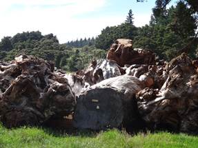
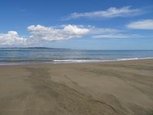
Position 36 21.740E 174 10.832E Drove all day with a couple of stops to buy bits of kauri. These trunks – well part trunks, were stacked in the timber yard. A lot of these have been dug up from bogs. There used to be camps of 100 + workers whose jobs were digging these up. A mass catastrophe of some sort resulted in death of huge forest of kauri trees. Stopped off at Baylys Beach. You can drive along the beach (Ripiro Ocean Beach) here – it’s a designated highway, the SD1 . Presumably the roads were so bad someone decided to drive down the beach. It is longer than 90 mile beach, to the north, but less famous.
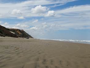
Remains of tree trunk buried in the sand.
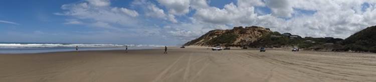
Looking to the north.
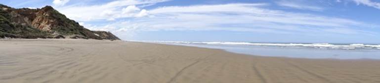
And south.
Travelled down the Pouto peninsula to Pouto. Boy did we end up in an epic spot. Bit of a village and corn growing on the way to Pouto.
Pouton is about 40km from Auckland as the crow flies but 160km by road. The last part of which, 23km was gravel, which probably explains why not many people come here (unless you know it). There is an historic lighthouse here which a lady fishing on the beach said was 25 mins away. An hour later we still had not reached it so turned back. Turns out it was 7km away – maybe 25 mins in a beach buggy but not by foot. The beach overlooking the Kaipara estuary.
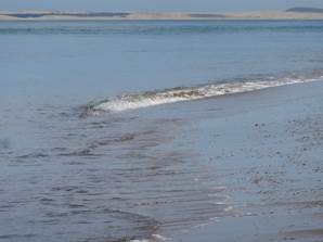
Not a fish but a breaking wave. The edge of the beach here ends abruptly and drops down 10m or so. At low tide the waves break just up from the edge of the vertical drop and these waves travel down the beach looking like fish, or somethinhg, huntng in the shallow water. A jellyfish, looks like a blue bottle that get in Oz.
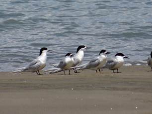
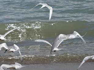
Terns at rest and in flight.
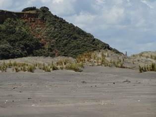
The peninsula contains the largest unmodified area of sand dunes in NZ. Behind the ‘new’ dunes are ancient vegetated dunes formed during the Pleistocene. This is the other end of the Ripiro Ocean Beach and one of the cars had driven the length, camping out along the way.
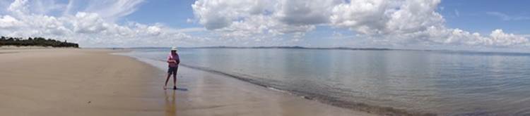
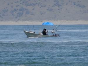
The Kaipara estuary (drowned river valley) is massive but most of them on the west coast have sand bars at the entrance and this was no exception. You can just make out the other side of the estuary mouth about 20km away. Very few boats around but this was a classic – it was hot, I burnt my calves.
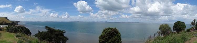
Best of all there is a small community run campsite here which is not advertised anywhere and appears on no maps. $10 per night with powered for us and our van. $1 for 2 mins in the shower. And what a view. This was ours. The village is totally empty apart the couple next door to the campsite who take the money, mow the lawns, do the cleaning and loan you very long extension leads – all for free. View from our spot.
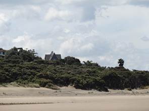
This house used to be a lodge that slept 18 odd people. A family of four from Auckland now own it, but going into disrepair. All the other houses are also holiday homes. Shame although think the couple that take care of the site prefer it that way.
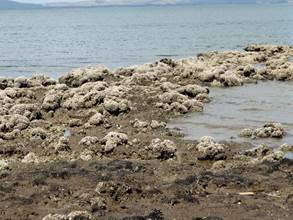
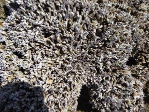
Down from the camp site these calcareous tube worms sat on top of the beach/reef jutting into the estuary.
Paul being unusally patient, waiting for me to take that photo.
|