Whangateau to Waipu Cove
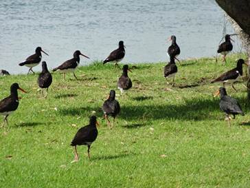
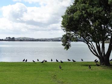
Position 36 01.648S 174 30.290E Woke up to sunshine, hooray. These oystercatchers came into rest after the sandbanks out in the bay were smothered by the tide. See what I mean about the view from a row back! Have you been paying attention?
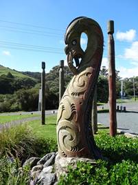
On the road we did a quick detour down to NZs first marine reserve at Goat Island. The totem represents the ancestor of the Ngati Manuhiri tribe that live in this area. Apparently, in the old days this was one of the canoe landing places. Goat island sits just offshore, a 15 ha refuge, across a short but dangerous looking causeway.
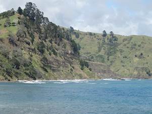
The cliff faces above Pauls head show layers of sedimentary rocks. Apparently, so the sign said, the oldest are 20 million years old and full of marine fossils.
This woman decided to go on the stocks below and got a nasty surprise.
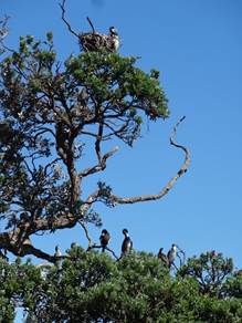
Pied shags nesting in trees.
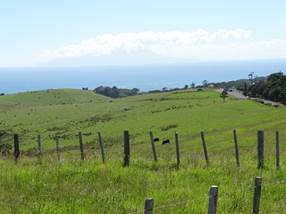
Scenery along the road, beach after beach, or bay after bay.
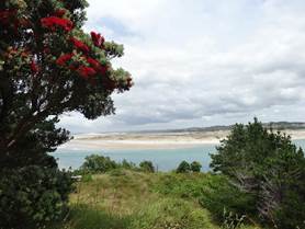
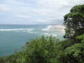
Further north is Mangawhai or, as the road sign says, Magical Mangawhai. Mmmmm. Long drawn out village, flashy houses. About 5km further on is Mangawhai Heads, where you could do several walks. We climbed to the top of one of the headlands. View from the lookout.
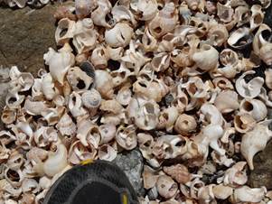
And walked along the beach. Lots of shells and flea mussels.
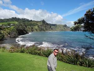
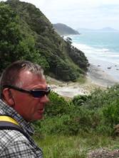
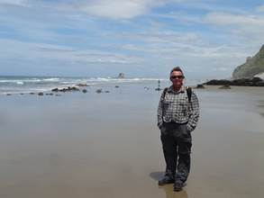
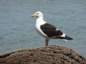
Paul and a gull. Two legs, a head. Mmmm any other similarities.
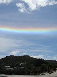
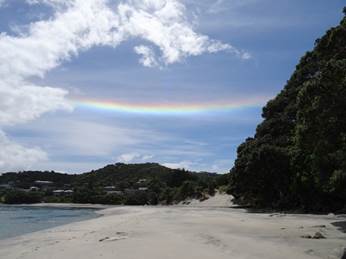
What about this for a rainbow? Didn’t reach the ground. I know none of them do, but get what I mean.
Off down, or north, the road to Waipu Cove – don’t bother. A huge sprawling holiday camp just off the beach. Gates locked at 9pm and you couldn’t get back in! |