Mount John
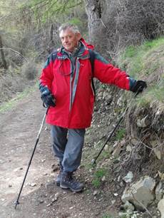
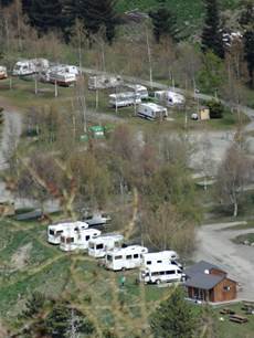
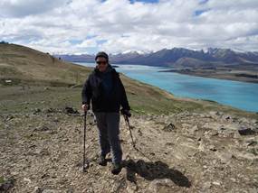
After lunch persuaded Paul to walk up Mount John. Observatory at the top – and a café. Walked steep route up and gentler route down. Took us about 4 hours and knackered. Paul looking fairly relaxed about a quarter of the way up Mount John (xxx m) and our campervan way down below. Ours is the second one from the end – near the huts.
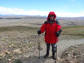
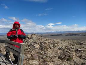
Tekepo is surrounded by mountains. You can see the flat basin in the background of the LH shot. We had just exited the tree line, about half way up the mountain. Nearing the summit (RHS), biting wind, Paul’s trousers flapping in the wind.
At the summit – or nearly.
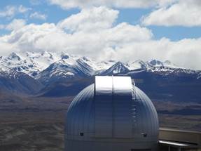
One of the observatories. Mount John is NZ’s main astronomical research facility – looking forward to seeing those stars tonight. There are four telescopes here. One of them is the biggest in NZ. They search for planets around other stars using a technique called gravitational microlensing. Basically when two stars are alignment, gravitational pull of the near star warps the space around it, making it act like a giant magnifying glass. Astronomers can then look at other stars and yes, I did know that
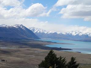
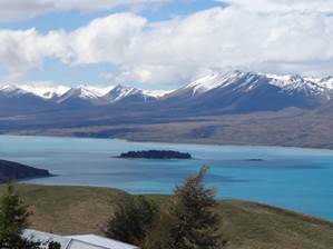
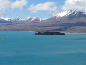
View down towards Lake Tekapo. To the left you can just see a bit of Lake Alexandrina which fills a depression formed beneath the Tekapo glacier. The pale tongue sticking out into the lake is the Cass River delta. A Maori ancestor is said to have made Lake Tekapo using a digging stick, great idea. Motuariki Island on the RHS.
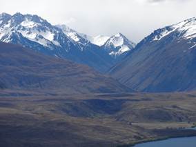
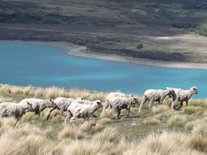
View up the Cass Valley, Gammack Range to the LHS. Some not so well shorn sheep.
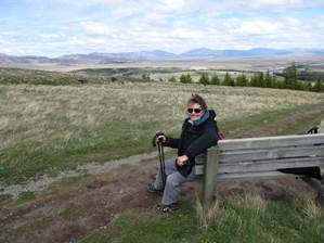
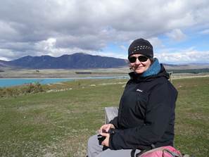
Paul and me taking a break on the way down and another view of Motuariki Island – where Maori’s may have lived for some time, or may not.
|