The longest day
|
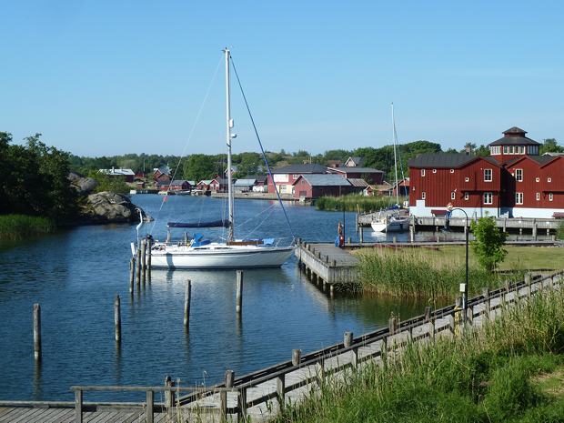
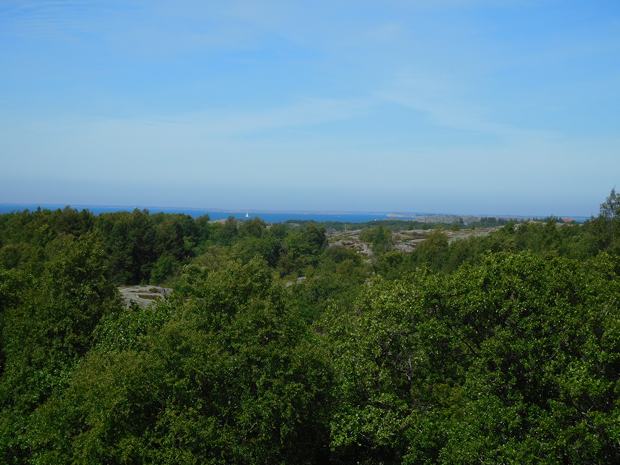
Our position is 59:55.266N 20.54.783E Distance covered 29.0 Nm We managed to leave Degerby behind the ferry and we had decided to take a Southern route round the island of Foglo and go to Karlby, the harbour in the south of Kokar, our next destination. This would involve finding our own way through the rocks and islands as there was not a marked route on the chart. However we were helped by the fact that Simon, the previous owner of the charts, had marked a route in pencil where we wanted to go, so we were happy to follow his lead.
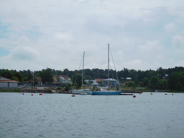
leaving Degerby and some boats had come into Lotsudden after we rejected it! The wind was from the South so we had to motor for the first part of the passage, but once we turned onto the easterly section we could sail as we picked our way through the rocks. Unfortunately we still had some southerly component to go and as the day dragged on, the wind blew up and the sea got rougher we once again had to motor and it felt as if we would never get there – well it was 21 June.
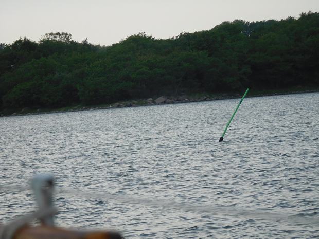
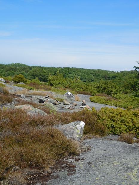
At last the entrance to the intricate channel opened up in front of us and we started to pick our way through using the transits marked on the rocks. The charts made the whole channel look too shallow, but we had been assured by some local people on the next boat in Degerby that it would be fine, and none of the pilots or other guides made any mention of a maximum draft so we crossed everything and went ahead. There was a moment of uncertainty when the transits ran out, the channel split and a cardinal mark appeared that wasn’t on the chart, but helped by red and green poles that looked little more substantial than rounders’ poles (and also weren’t on the chart) we were soon identifying the harbour and the harbourmaster on a golden bicycle was waving from the quay.
Transits on the approach and further in
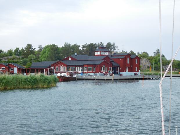
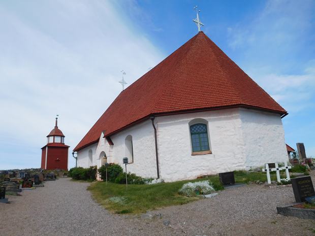
We were soon tied up and although the harbourmaster was adamant that what we needed was a sauna, we chose to warm up below, courtesy of the Eberspracher. The next day we broke out the Bromptons again and cycled to the North West of the island, a distance of about 3.5 miles. Our destination was the 18th century church and the remains of a Franciscan monastery founded in the 15th century. The monastery remains also contain finds from archaeological excavations on the island.
The church, looking quite newly painted. We saw pictures of it in natural stone
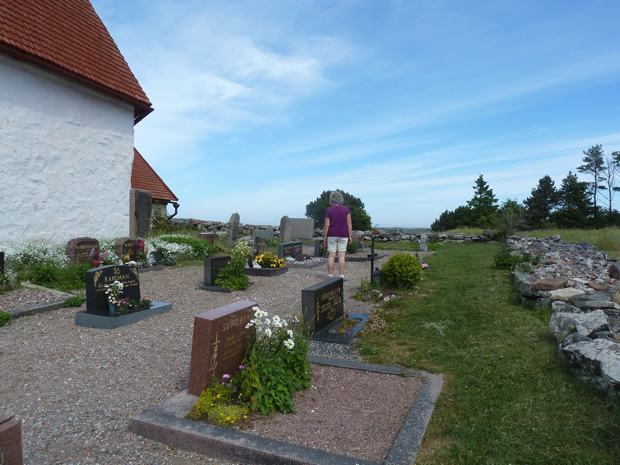
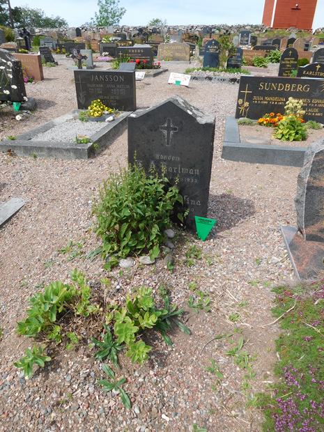
The newer graves were very shiny but the iron crosses were much older
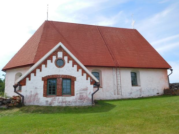
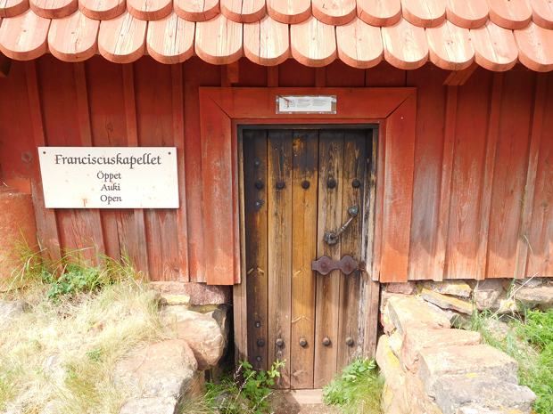
The building containing the remains of the monastery and what was inside; I thought the wooden tiles which covered this building as well as the church, were pretty smart
After exploring the church we returned the way we had come – there are no circular roads on this group of islands; they form more of a cross shape – and detoured to investigate one of the other guest harbours on the island – Sandvik. This harbour had a café as it is connected to a camp site, and we took advantage of the cafe for lunch, enjoying a bowl of home-made fish soup and some of the local dark bread.
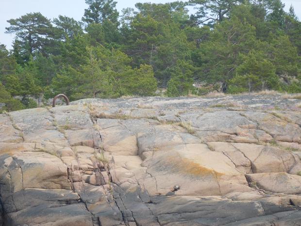
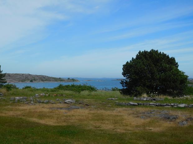
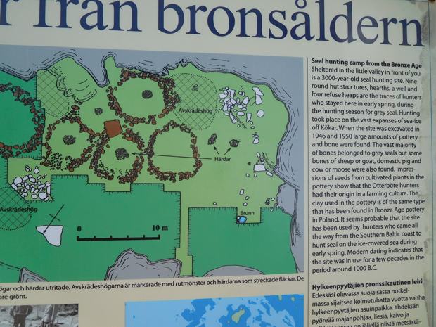
After lunch we resumed our journey for a short distance further, then left the bikes and took to one of the hiking trails to visit the site of a Bronze Age seal hunters’ settlement. The trail was well marked with white spots so we didn’t get lost, but the remains of the settlement were quite minimal. It was a nice walk though.
The remains of the seal hunters camp
We were undecided whether to set off in the opposite direction when we got back to the boat to the little homestead museum. However we stopped at the bakery and bought cake, and then realised that by the time we got to the museum it would be nearly closing, so instead we stayed on board and had a cup of tea. The family who had been next to us in Degerby, and had left when we did but had gone to the third harbour on our island, stopped by on a cycle ride to the church and told us the museum had nothing in English, so our decision felt vindicated. |