Wind and more wind
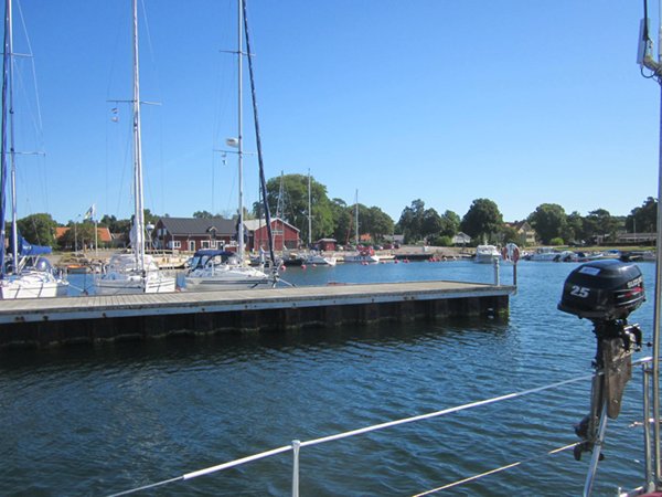
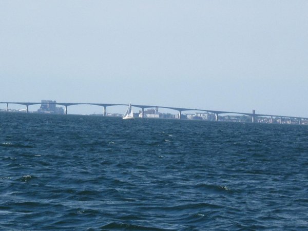
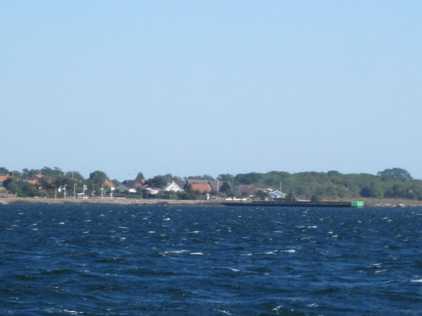
Our position is 56:15.989N 16:23.846E Distance covered 29.6Nm We set off in good time to get to Gronhogen, in the south of Oland. We had to pass under the bridge linking the island to the mainland again, and because of the shallow water, there is only one place where that is possible, near Kalmar on the mainland side of the sound.
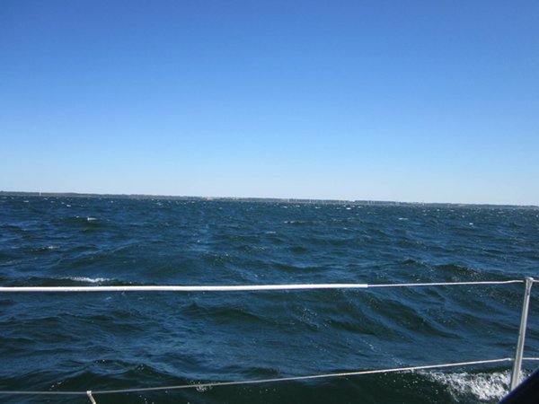
We hadn’t been able to get an internet connection at Stora Ror and therefore had no up to date weather information, but the older forecasts hadn’t indicated anything too ferocious and we set off broad reaching with full main and jib down to the bridge. Once through the bridge, however, the wind started to get stronger and stronger. We were soon reefed and the jib rolled, but still close reaching at 7 knots. The flatness of the sea was a bit disconcerting as the wind instruments were showing gusts in excess of 30 knots, which anywhere else would have been accompanied by large waves.
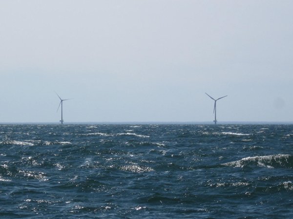
At least the absence of waves meant we could maintain good speed, and we were soon zipping past the “7 wind turbines of Oland”. According to the pilot book this is one of the biggest offshore installations in the world. I can only assume the book has never been updated since its first edition!
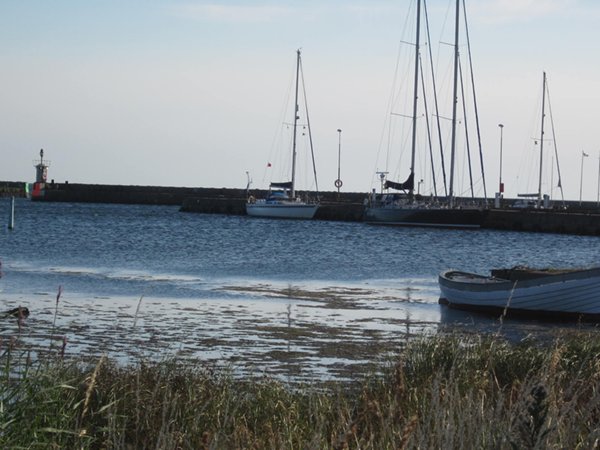
Before long we were heading in on the leading line to a rather bleak (and empty) little harbour and tying up alongside a fearsome concrete jetty protected by surprisingly effective tyres. Again we had just enough time for a short walk before dinner, after signing in with a very helpful and generous harbourmaster – probably grateful to have any customers!
|