The Road to Mandalay – 28th August 2013 Cruise to Bhamo in Northern Myanmar The idea of this cruise came from David’s English cousin, Angela, who had done it 3 years previously, and strongly recommended we should discover Burma in the same way 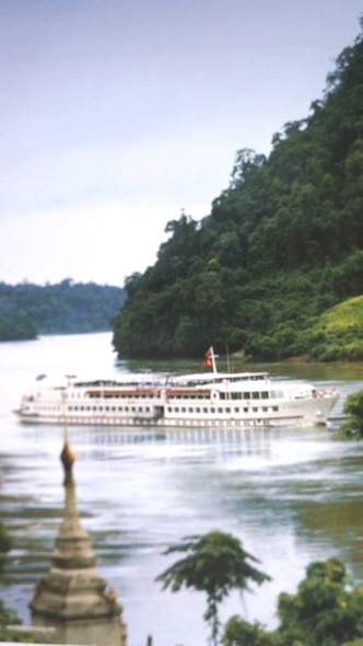
The Cruise Ship is a Rhine River vessel, converted for tropical living, with a swimming pool, operated by The Orient Express Travel Company. 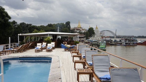
The top deck has a pool – essential for cooling off on the hotter days! 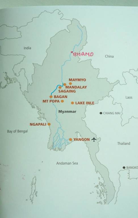
This map gives an overview of the Map of Burma and the Irrawaddy River which flows from Northern Burma (Myanmar) right through the centre to its Southern delta in the Andaman Sea. The cruise left from Sagaing, just south of Mandalay to Bhamo and back to Bagan, taking 10 days. The roads to visit that far North are virtually impassable, mainly dirt roads for bullock pulled carts. The road system is gradually improving. A motorway has just been finished, from Mandalay to Yangon in the South. So few people own cars, it is almost deserted! So going by River, which is the main highway for the people of Burma, is a good way to see the transition happening in this country. Orient Express can only operate that Northern navigation trip during the rainy season, as the water levels are too low during the dry season. However, we hardly experienced any rain during that time. They operate Mandalay to Bagan all year round. 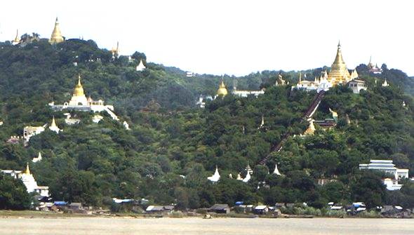
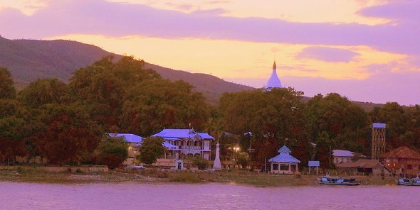
The golden stupas on the river bank at Sagain, opposite the mooring position where we pick up the Road to Mandalay ship 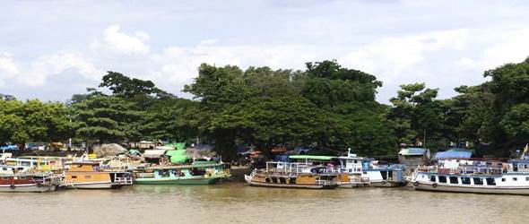
So many craft line the river bank, the best means of transport in the area. 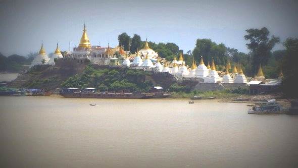
Stupas decorated the Irrawaddy river bank just above Mandalay 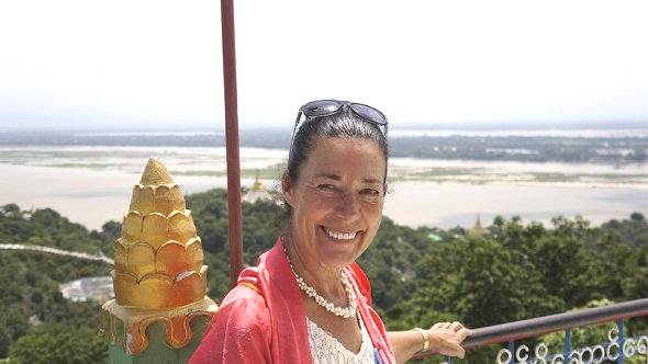
View from one of the temples at Sagain across to Mandalay area on the opposite side. 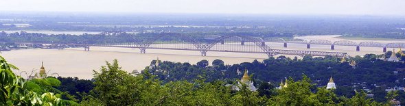
One of the few bridges across the river – this one to get to Sagain from Mandalay. The rail bridge is just behind. 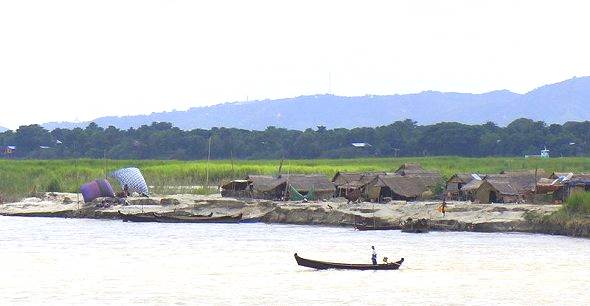
Farmers on the river banks can get their crops irrigated during this season 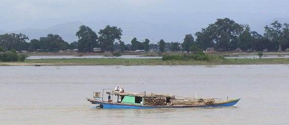
Bamboo and wood being transported 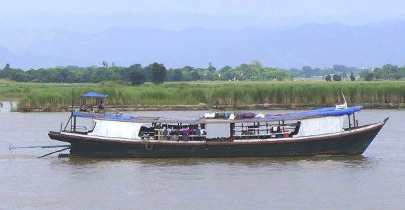
This boat has two ‘long tail’ engines in case one breaks down 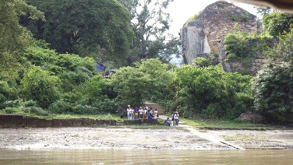
A shore welcome party awaits as we disembark at Mingun, the world’s largest brick-built pagoda 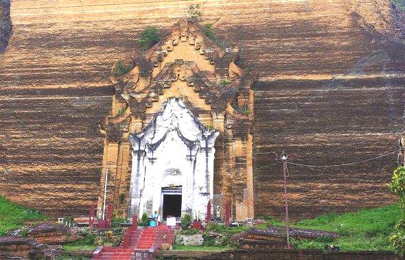
The doorway into the Mingun Pagoda. It’s actually the cracked brick base of the original plan. The King Bodawpaya started construction in 1790 with a grandiose idea to build it 3 times higher. Thousands of slaves and prisoners of war until the King died in 1838. An earthquake reduced it to partial rubble, probably making it the world’s largest pile of bricks! 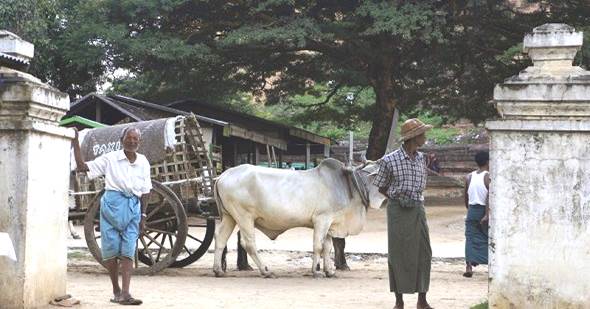
Here’s the Bullock and cart taxi waiting for us!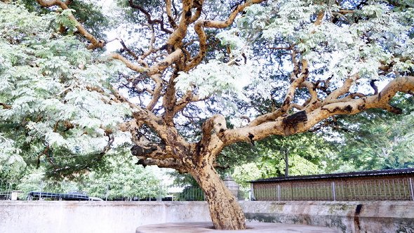 This beautiful tree in the grounds of where the 1808 bronze bell is hung 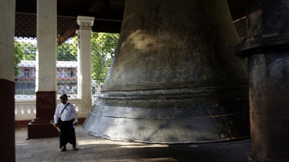
The bell is claimed to be the largest hung, un-cracked bell in the world! 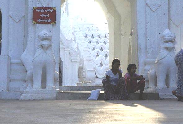
The entrance to the Hsinbuyme Paya. Constructed in memory of the Kings Bagyidaw’s senior wife in 1816. 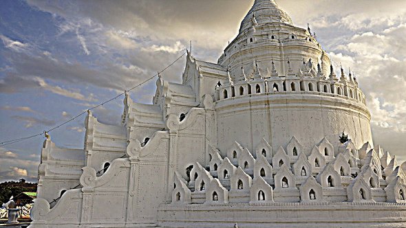
The seven white washed wavy terraces around the stupa represent the 7 mountain ranges around Mt Meru. 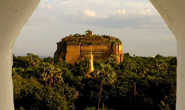
View across to the Mingun Paya 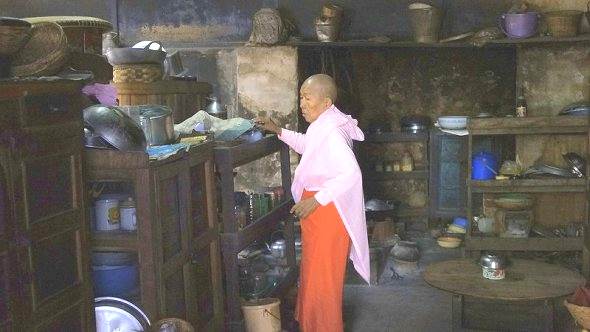
We visit a Nunnery, near Mingun. This Nun is just preparing food in the kitchen 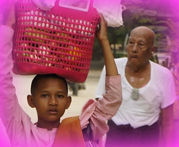
A nursing home for the elderly is nearby. One of the ‘inmates’ here, walking behind the young Nun carrying food to her monastery. 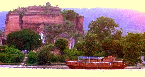
Sunset from the ship opposite Mingun |