Khao Phing-Kan

|
Khao Phing-Kan
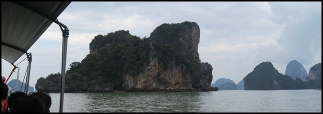 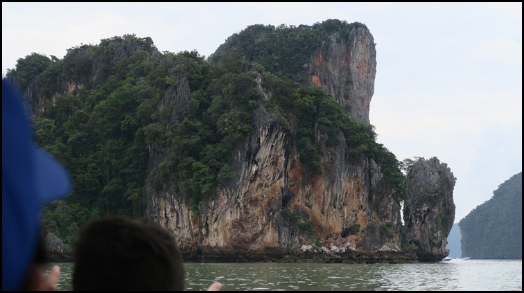 We left Koh Panyee and headed to Khao Phing-Kan. As we got nearer we could see James Bond
Island poking out on the right.
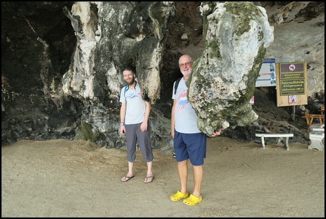
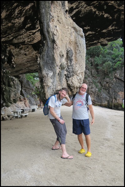
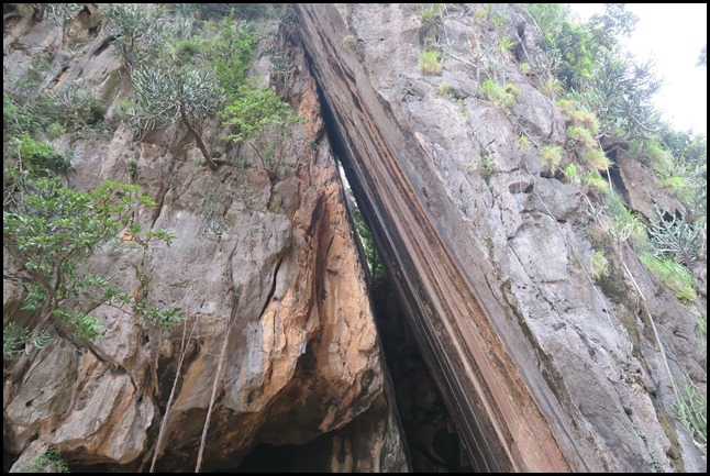 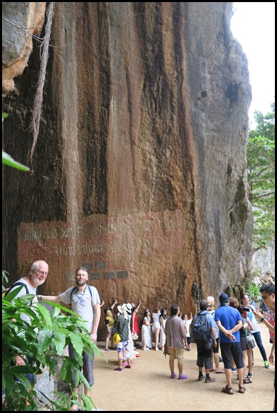 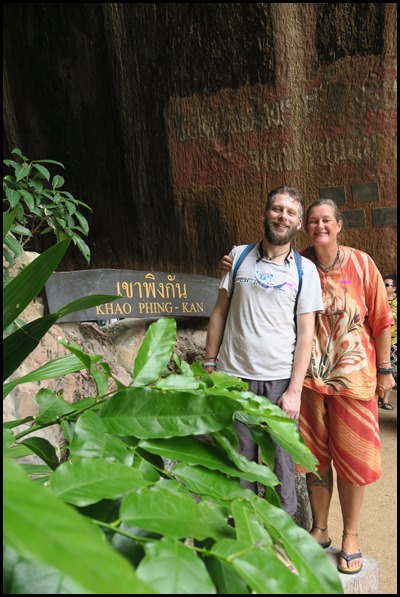 Once ashore, we walked to the Slide Rock and posed. There
is a wonderful description in the National Park brochure: Khao Phing-Kan was
occured from the crack and slide of rock due to gravity fault. As the base of
rock was scoured out by the torrent making the upper rock in which the weight
was huge sliding down in the of form leaning on.
Wonderful.
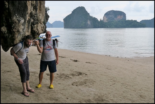
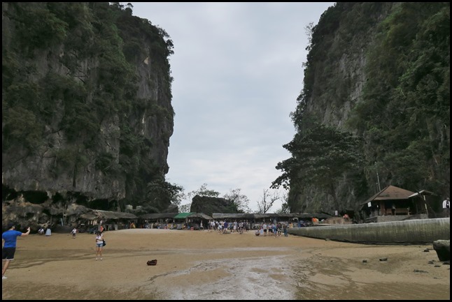 We walked out onto the beach (with our back to James Bond
Island. Khao Phing Kan consists of two forest-covered
islands with steep shores. They lie in the northwestern part of Phang Nga
Bay, 6 kilometres (3.7 mi) from the mainland, amid a group of a dozen of other
islands. Its western part is about 130 metres (430 feet) in diameter whereas the
eastern part is about 240 metres (790 feet) long and 140 metres (460 feet) wide
and is elongated northwards. The island has a few caves and two sandy beaches,
in the southwest and between the twin islands.
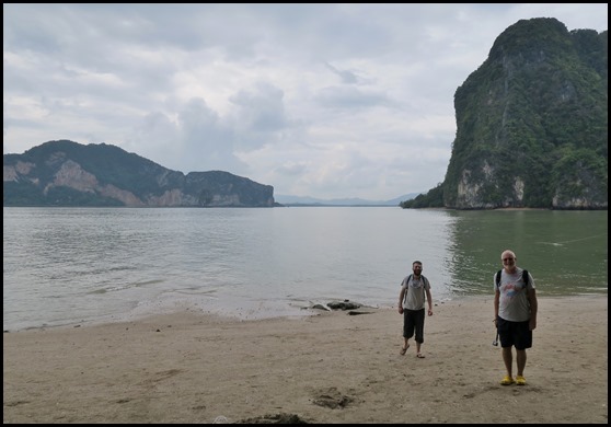 The information board told us that: The area
around Ao Phang Nga Bay is geographically referred to
as a drowned karstland, which refers to an irregular limestone region with
sinks, underground streams and caverns. Other islands of this description rise
some metres or more out of the milky brown grey water of the bay, creating one
of the most photogenic scenes in the world. The origin of this region dates back
to the Cretaceous-Tertiary Period of about (someone has written in 65) million
years ago. Coral and other marine organisms once flourished in this area, laying
deposits over time with their rich calcium deposits over with their rich
calcium. Love it.
Carbonate bodies. Movement following the
Cretaceous-Tertiary Period exerted enormous Pressures on the sedimentary rock,
rupturing it, causing the stiff limestone to either be thrust upward or to sink.
The movement of the rock, coupled with glacial and water movement over time has
resulted in the multi-hued brown rock formations you see today.
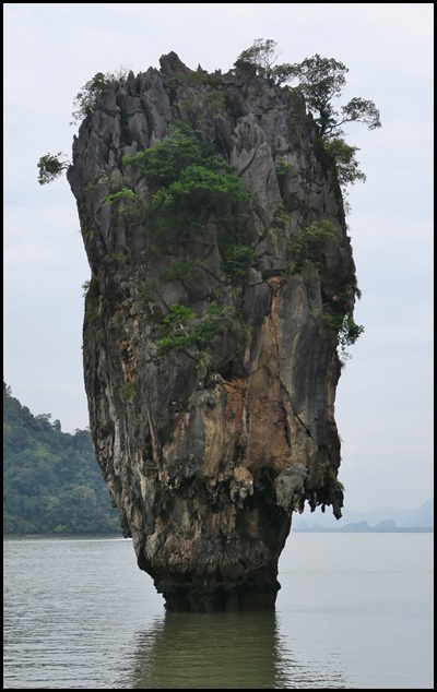
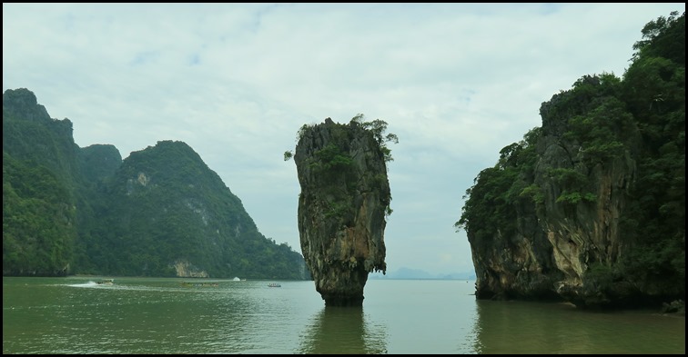 Wiki Says: Ko Ta Pu is a limestone rock about 20 metres (66 feet) tall with the diameter increasing from about 4 metres (13 feet) near the water level to about 8 metres (26 feet) at the top. It lies about 40 metres (130 feet) to the west from the northern part of Khao Phing Kan. A local legend explains the formation of Ko Ta Pu as follows. Once upon a time, there lived a fisherman who used to bring home many fish every time he went to the sea. However, one day he could not catch any fish despite many attempts and only picked up a nail with his net. He kept throwing the nail back into the sea and catching it again. Furious, he took his sword and cut the nail in half with all his strength. Upon impact, one half of the nail jumped up and speared into the sea, forming Ko Ta Pu. A scientific version of the Ko Ta Pu formation says that in the Permian period, the area was a barrier reef. Then, upon tectonic movements, it ruptured, and its parts were dispersed over the area and flooded by the rising ocean. Wind, waves, water currents, and tides gradually eroded the islands thus formed, sometimes producing peculiar shapes, such as Ko Ta Pu. Tide-related erosion is visible at the bottom of the rock. In The Man with the Golden Gun, Scaramanga describes Ko Ta Pu as a "mushroom-shaped rock", which houses two large solar panels which come up on top of Ko Ta Pu and lock on to the Sun. Before the film used the island visitors rarely ever came.....................
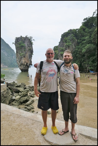
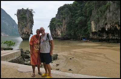
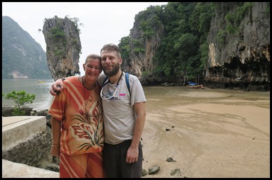
Of course we had to have our ‘tourist poses’.
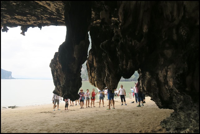
We walked over the track and found ourselves on a beach (the same side as James Bond Island) and waited with the crowds........
...........for the other tourist pictures. Boys.............please...............
Never work with children and animals..........
Ditto.
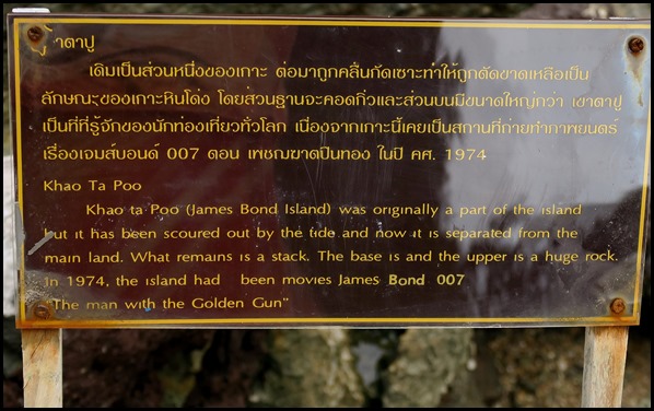
We head back to the boat pausing to read the sign and take a last look.
ALL IN ALL A THRILL TO BE HERE OH, WHAT IT IS TO BE A TOURIST |
