Gordon River Cruise

|
Gordon River
Cruise
  After our Hell’s Gate experience Lady Jane
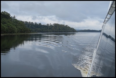
Franklin cruised along the Gordon River, which
rises below Mount Hobhouse in the Franklin-Gordon
Wild Rivers National Park draining the eastern slopes of the King William
Range. The river flows generally south
and to the west of the Gordon Range before flowing west through the Gordon Gap
and spilling into Lake
Gordon, an impounded reservoir created by damming the Gordon at
the Gordon
Dam. Together with water fed from Lake
Pedder, the principal purpose of the
reservoir is for generation of hydro-electricity at the Gordon Power
Station.
Flowing from east to west through Lake Gordon, the river continues west, passing through the Gordon Splits, a series of gorges once considered impassable until 1958 when Olegas Truchanas, a conservationist and nature photographer, was the first person to navigate the Gordon River in a kayak. The river flows north by west and then due north and finally due west as it reaches its mouth and empties into Macquarie Harbour at Wrights Bay. From source to mouth, the river is joined by 25 tributaries including the Boyes, Holley, Serpentine, Orange, Denison, Sprent, Franklin, and the The river descends 570 metres (1,870 feet) over its 172-kilometre (107 mile) course; much of which is located in an uninhabited wilderness area, contained with the Franklin-Gordon Wild Rivers National Park and Southwest National Park. The lower part of the Gordon River is part of the Tasmanian Wilderness World Heritage Area and contains a cold-climate rainforest and rare trees. As with many rivers in western Tasmania, the water is fresh and drinkable, yet has the colour of weak tea due to the absorption of tannin from button grass growing in the catchment area. Additional dams were proposed for the lower part of the river. However, these plans were changed as a result of significant opposition and public opinion. In particular, the Franklin Dam was proposed just downstream of the junction with the Franklin River, and would have flooded much of both rivers. It was a major political and environmental issue in the 1980’s.
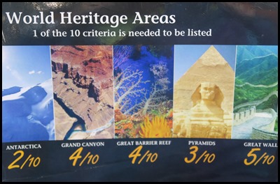
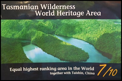
Wow factoids. Of almost 813 World Heritage properties, only one other satisfies as many criteria for listing – Mount Taishin in China. These forests were forming during the fall of the Roman Empire and creation of modern Europe in 476 AD, Genghis Khan’s conquest of Asia started in 1206 and Christopher Columbus discovered the Americas in 1492.
History
Late
Triassic to Cretaceous: 230 million years ago to 65 million years ago dinosaurs
dominate the earth.
Ice Age: 110,000 years ago to
10,000-15,000 years ago glaciers shape local landscape. Aboriginal Tasmanians
live here at least 36,000 years ago, well into the Ice Age.
1642: Explorer Abel Tasman was the
first European to sight Tasmania and the mountains north of Macquarie
Harbour.
1815: Captain James Kelly was the
first European to enter the harbour.
1822: The first convicts are
shipped to Sarah Island.
1896: The first cruise boat, Bay
View, starts operating on the Gordon River.
1981-1982:Franklin Gordon Wild
Rivers National Park proclaimed. Tasmanian Wilderness World Heritage Area
Listed.
1989: World Heritage Area expanded
to include the lower Gordon River catchment.
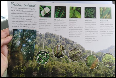 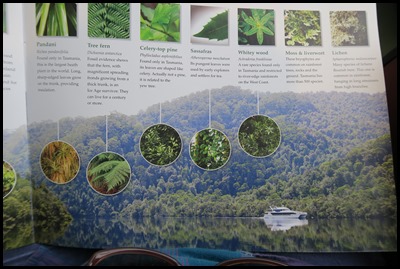 We read about
the area and some of the plants and trees,
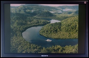 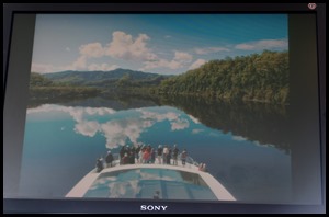 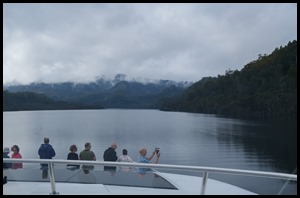 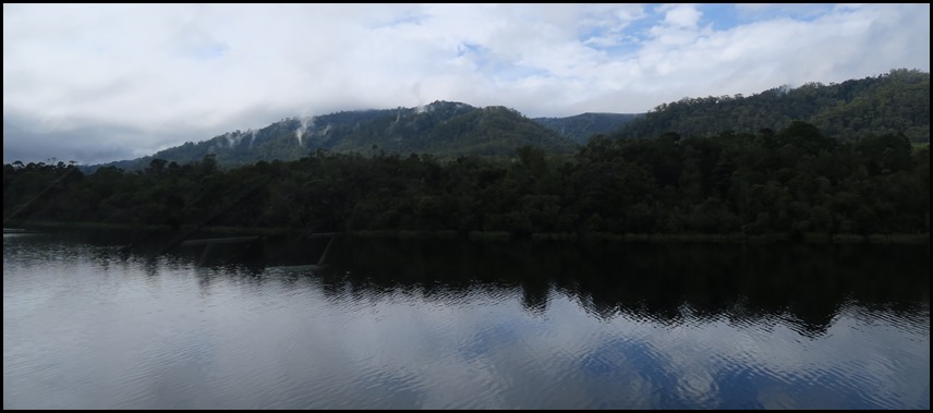 On the monitor wonderful pictures came up, every bit as breath taking as we looked out of the window, even
though it was a dull, grey day.
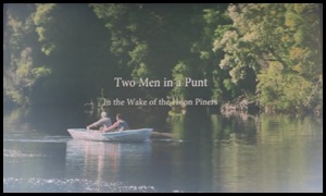   As we sipped
our fizz a short film came on called Two Men in a
Punt in the wake of the Huon Piners. This is about as far from an
office job as there is and even more so in 1887 when Strahan’s huon piners
pushed up the Gordon and other rivers. A rugged breed of men, they took on the
challenge of this powerful wilderness to work in isolation for up to six months
at a time, harvesting the huon pines. It was dangerous work with a ever-present
risk of drowning, starving or injury. They were part of Tasmania’s early
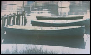
ship-building industry, making their own rowing boats – short punts with no keel so the
front section lifted in the water to get through the rapids. One piner rowed
from his river camp to Strahan each week to play football. At the end of the
film we saw some of the beautiful furniture made from this creamy-yellowish type
of conifer. A grand piano stood out as truly
unique.
  Before our
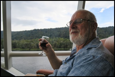
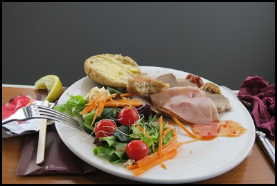
tour of Sarah Island we had a buffet lunch, Bear sipped a
red and enjoyed fresh salmon, salad, potatoes and all the trimmings. I
was given my own plain meat platter that even after
giving Bear half was still too much to wade through. As we stepped off on our
bimble we had mint chocolates that were quite heavenly. The day was a wonderful
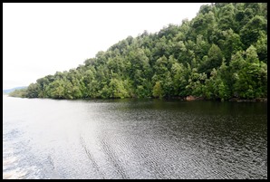
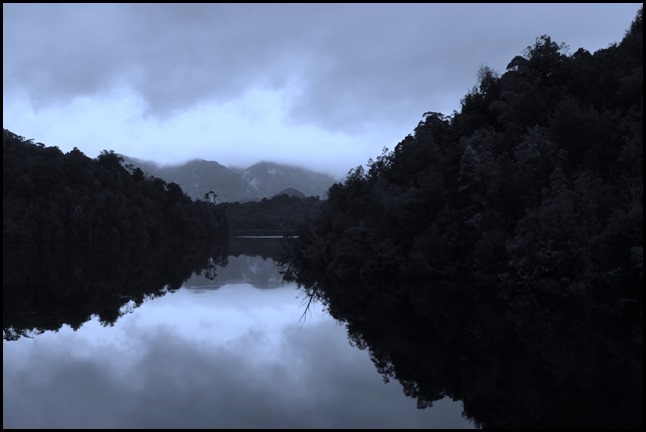
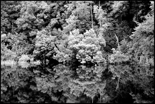
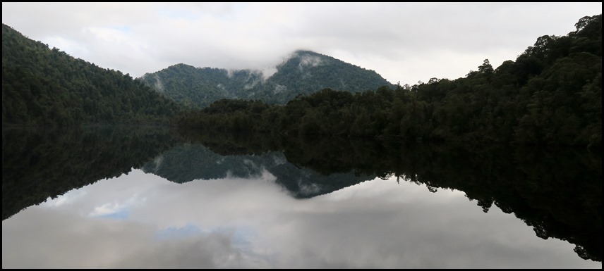
experience from start to finish. We will finish this blog with some of our
pictures.
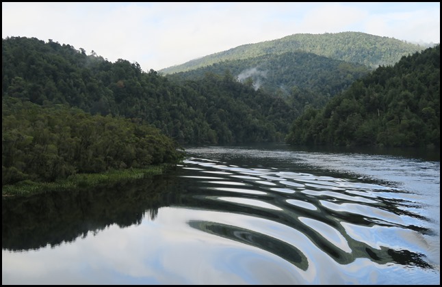 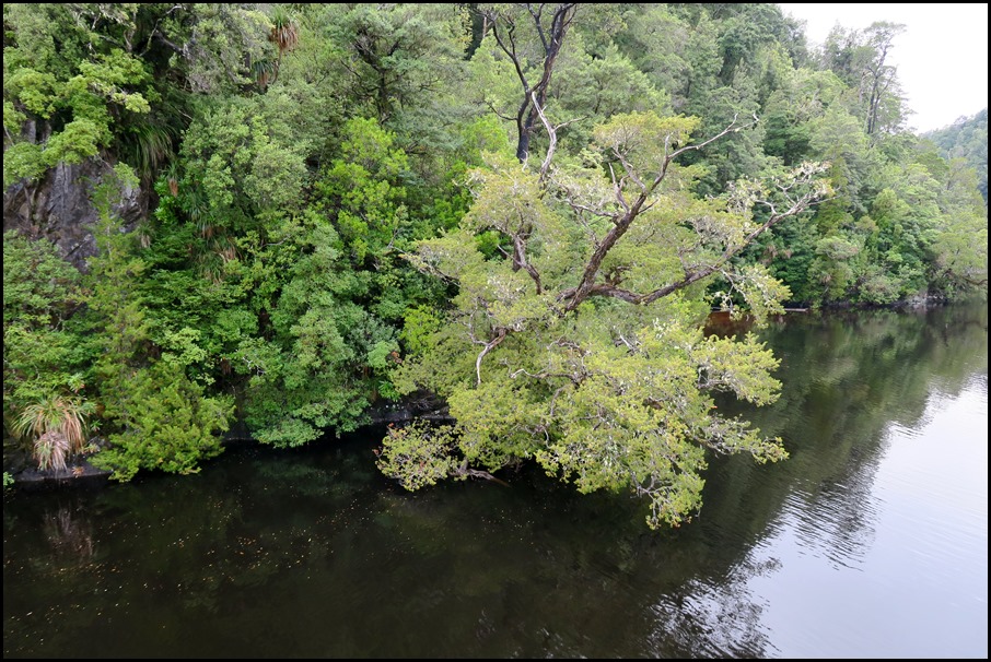 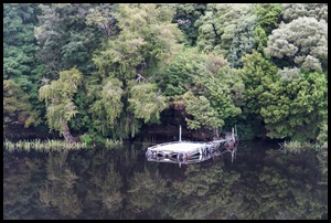 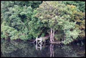 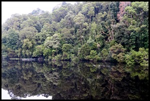 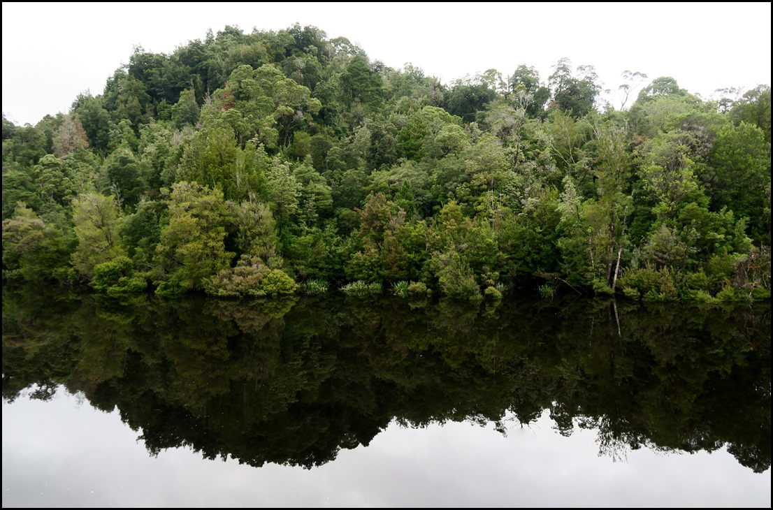 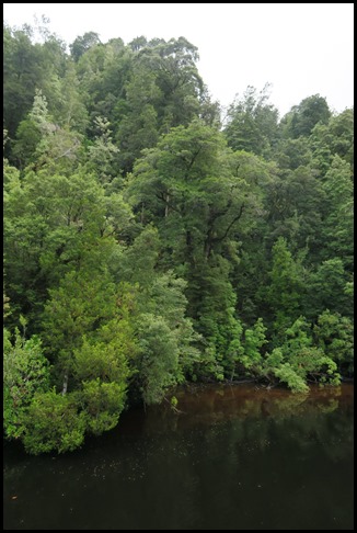 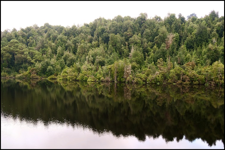  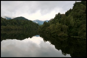     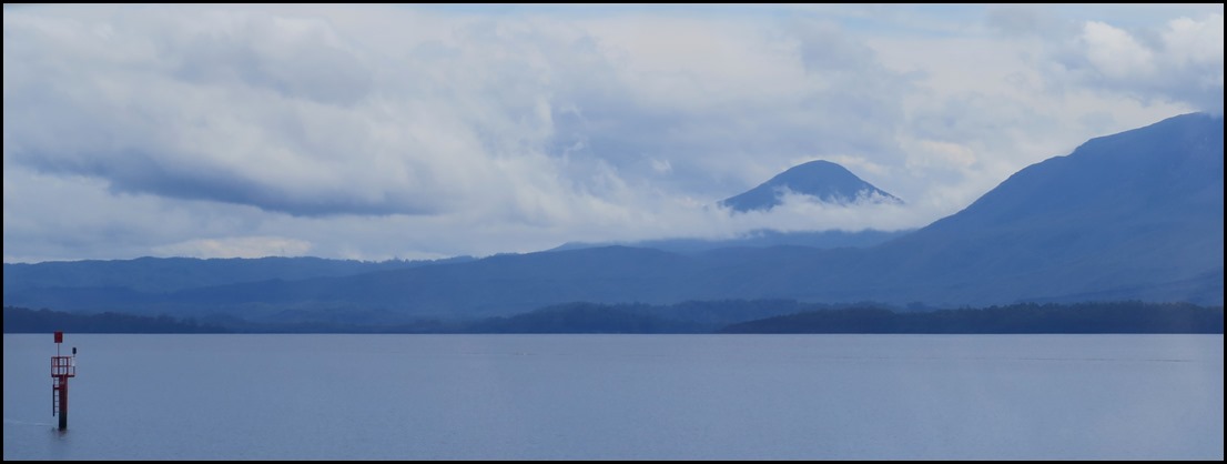
ALL IN ALL VERY BEAUTIFUL STUNNING SCENERY |
