To Currigee

|
To Currigee, off South
Stradbroke Island, Queensland
 I rose at ten to find all was well on deck and oh, my first look at the Gold Coast.
 All pretty calm
out at sea.
 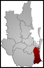 The Gold
Coast was originally used as a jibe implying that one needed to be rich
to visit Brisbane’s South Coast, the name “Gold Coast” grew in respectability
until it was officially accepted in the late 1950’s. In May 1959, it became the
“City of the Gold Coast”. The City of the Gold Coast includes a stretch of coast
running from the New South Wales-Queensland border to a point approximately
twenty nautical miles north within The Broadwater. It includes the well known
tourist centre Surfers Paradise and the lesser known commercial centre
of Southport.
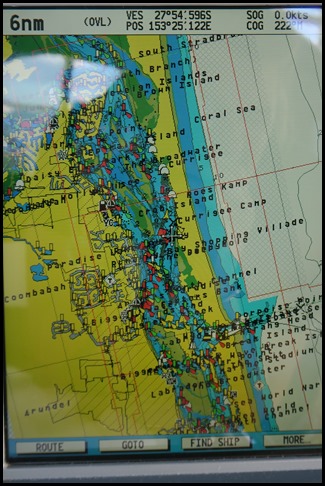 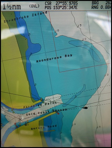 A bit too busy on
the six mile scale but the wide entrance looked easy in these conditions,
on the smaller scale. The dominant harbour area
of the Gold Coast is in the Southport Boat Harbour at Main Beach. This can be
entered from seaward by the Gold Coast Seaway which is a man-made entrance
through The Spit. In the mid 1980’s, it replaced the natural bar which occurred
between The Spit and South Southbroke Island. On we go.
 On our left we passed an impressive structure
and later found out what it was. The Gold Coast Seaway (or Southport Seaway
as it is sometimes known) boasts the world’s first permanent sand bypassing system and stands as one of the country’s
most significant engineering feats from the
1980’s.
What is the Sand By-Pass System? The unique and innovative system consists of a steel framed jetty, constructed five hundred metres out to sea and two hundred and fifty metres south of the southern training wall. Ten jet pumps, suspended from the jetty at thirty metre intervals from the seaward end, are submerged to 11 metres below mean sea level. How does it work? Water to operate the sand bypass system is taken from the Broadwater via twin low pressure, high volume turbine pumps to the control building where twin high pressure centrifugal pumps boost the water pressure to that required for activation of the ket pumps. Sand on the seabed in the vicinity of the operating pumps is forced into the system in a water/sand mix and returned to the shore through the gravity fed flume. Here it is discharged into a conical shaped concrete hopper where excess water is decanted back to the ocean while concentrated sand slurry is pumped by a variable speed centrifugal pump through an underground pipeline, under the seaway entrance to discharge onto the southern ocean beach on South Stradbroke Island. The system may be operated with a varying number of selected jet pumps to give optimum performance. Computer control and monitoring ensures maximum economy and efficiency of the operation. Pumping operations are normally conducted at night during off-peak power periods.
 Why is it necessary? The Southport Bar was
incredibly dangerous until 1986 when the Gold Coast Seaway was constructed.
Predominant south easterly winds, the significant northern drift of sand and
wave climate combined to move an estimated five hundred thousand cubic metres of
sand along the south-east Queensland coast each year. Over time the Nerang River
mouth moved northward by up to sixty metres each year, causing land erosion and
changing sandbanks at the bar and adjoining Broadwater. The sand bypass system
was provided for in the design of the Gold Coast Seaway as it was recognised
that the breakwaters would not be effective for long without a solution to the
littoral drift problem. The large-capacity fixed-sand bypassing system is an
integral part of the design of the seaway.
 The south
wall......
  ........doing its
stuff.
 Bear had his life jacket on like a good
boy and gave a running commentary. Now, it may get a
little wiggly as we go over the shallow bit of the bar. Mmm. We’ll have about three metres under us because we are at low
water springs. Mmm. Hold on, 6.2, 5.8, 5.1,
oh, 5.4, 5.8, oh 10.6. Mmm. Very treacherous and then we were
in..........in the flat-calm, I thought we were on a duck
pond.......I really get the the short straw going in to Yamba. Next
time........
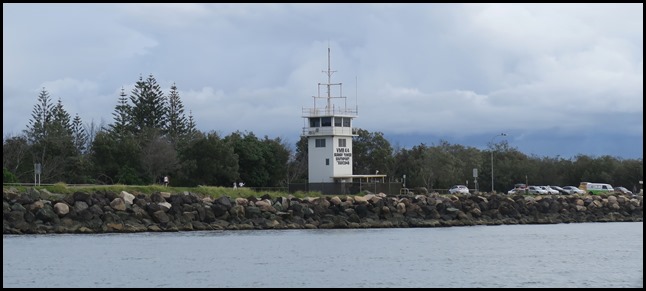 We logged-off our journey with Seatower Control, the nice lady at Yamba had transferred us
here on her computer.
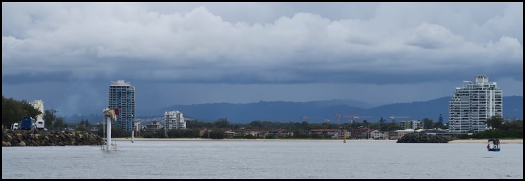 Once in the
fairway we were so reminded of the Intracoastal Waterway on the east
coast of America. A huge, well marked area. Left, we could have anchored off
Nara Beach Resort but Bear chose right.
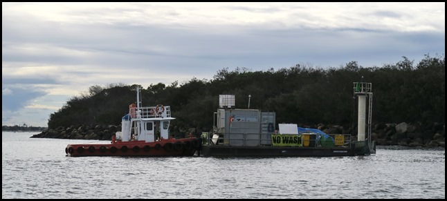 Passed a little
working girl.......
 ..........passing the
first anchorage by Wave Break Island.
 Fishermen
enjoying the afternoon.
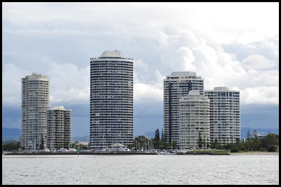 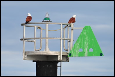 I was facing backward taking in the high rises when, colour me happy, on the green marker
a pair of beautiful chaps.
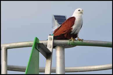 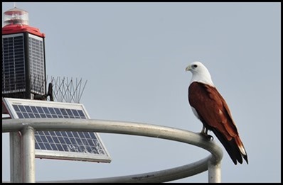 Double joy. Not only a beauty on the green but another on the red
opposite. I got in closer as Bear did a three sixty for
me.
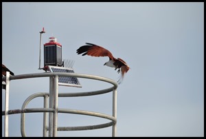 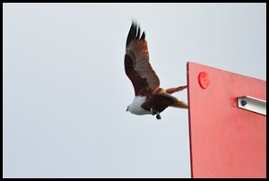 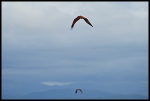 The red pair graced us with a take off. Later, we found out
we had seen four Brahminy kites also known as the red-backed sea-eagle.
This kite is
a familiar sight in the skies of Sri
Lanka, Nepal (up to
five thousand feet in the Himalayas), India, Pakistan, Bangladesh, and southeast Asia and
as far south as New South
Wales, through
which region it is widespread and resident. They perform seasonal movements
associated with rainfall in some parts of their range.
They roost communally on large and isolated trees and as many
as six hundred (said in a higher pitch) have
been seen at just one
location.
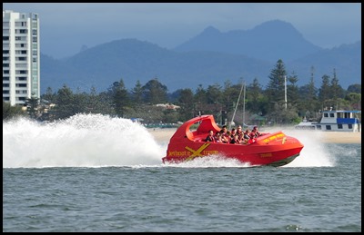 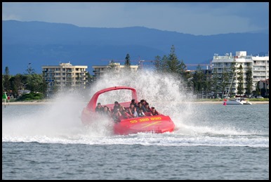 We watched a
few jet boat manoeuvres accompanied by the requisite
screams.
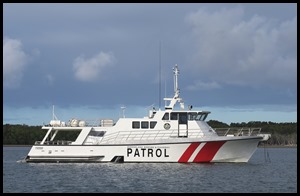 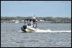 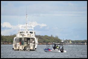 The Queensland Patrol boat at
anchor. The Fisheries fast
boat speeded near. Oh, we can see a boat ramp,
were we to be in for a Thunderbird Two moment as Pod Five is absorbed ??? I
believe we are in for a treat.
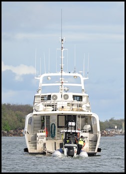 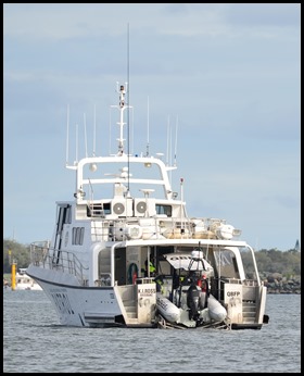 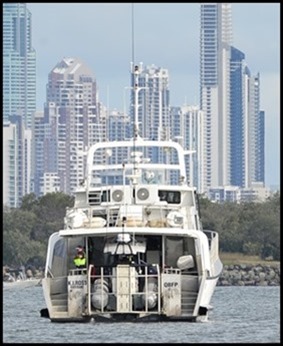 A final rev, chap jumped out and hit the controls, fast craft all the way up the ramp, fence lifted. Locked and loaded. Very
impressive.
 Arrr, Bear
had chosen to anchor next to Crab Island on the
Southbroke Island side. What depth skipper, oh anything
around a metre. I slowly went toward the shore, 2.2, 1.8, 1.4, oh
3.2. It went like that until Bear called here will
do. Three metres, there we are then.
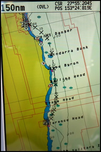 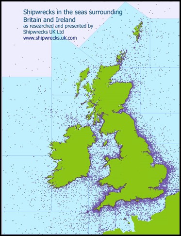 So pleased
that part of the east coast all done and dusted,
judging by the number of wrecks we learned about in Port Stephens – around six
hundred or so, many succumbed along the way. But, comparing this to the number
around the United
Kingdom................
 Just one mob of jet skiers came by, haven’t seen any of those in
such a long time.
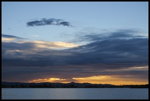 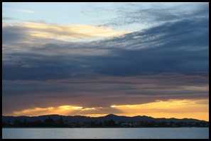 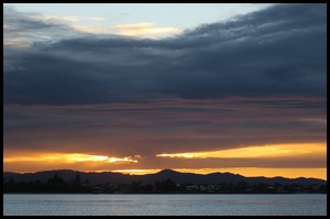 After super over a marvellous game of backgammon, because you thrashed me, we were in for a
spectacular sunset.
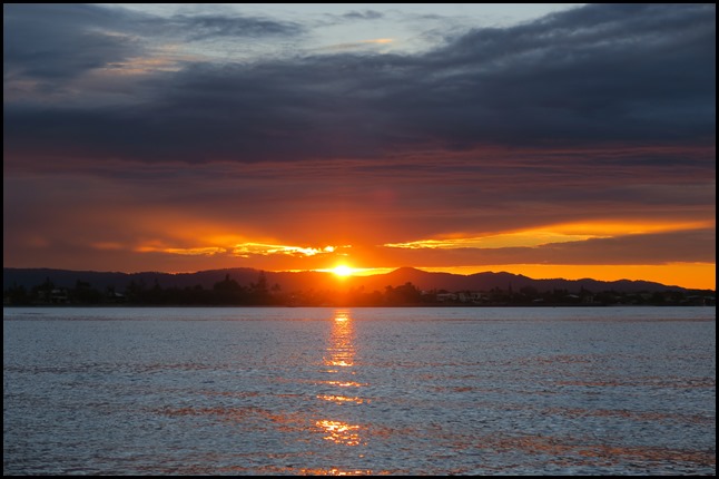 Indeed it was quite
something, tainted by an outrageous loss at Mexican train
dominoes. I feel no guilt.
Huh.
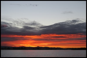 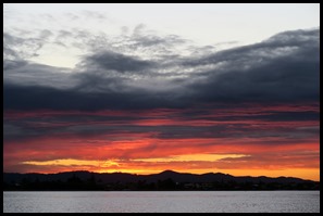 Lovely to watch the colour
changes.
 Impressive as the pinks come
in.
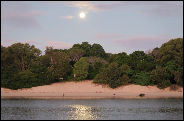 Meanwhile, to our left, the
moon wasn’t to be outdone.
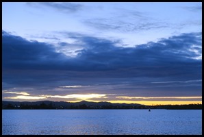 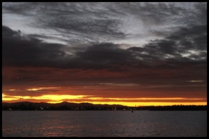 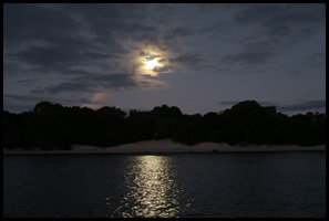 So wonderful to watch Mother
Nature.
ALL IN ALL REMINISCENT OF THE ICW MAJOR PROGRESS NORTH |