Penguin

|
Penguin
 We left our free seafront nest in the
District of Penguin and just had to visit the nearby town itself. We turned left
at the railway crossing – our first in Tasmania and there was Penguin Unity Church.
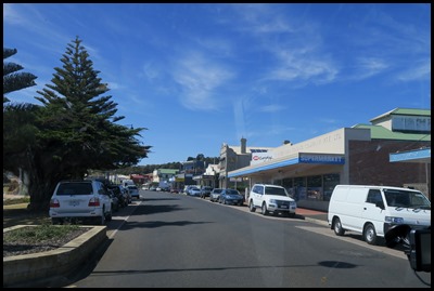  We drove along the Main Street and found a space
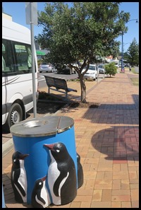
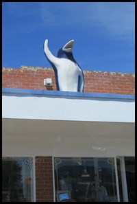
for Mabel opposite the Post Office and close to Big Penguin. Oh, just look at
the bin.
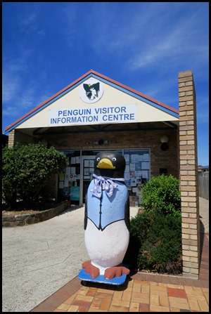
 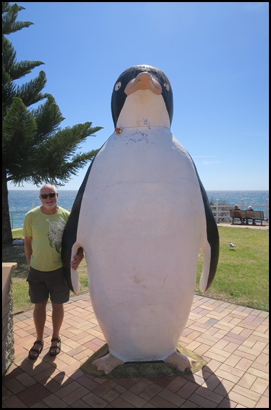 Penguin is home to the Big Penguin, and all street refuse bins are decorated with ornamental cement fairy penguins. Mount Montgomery is also in the Penguin area. The Big Penguin, made of fibro-cement by the Goliath Cement Company of Railton and later coated with fibreglass, is located in the town’s centre opposite the Post Office, and is the town’s most photographed icon. Unveiled on the 25th of October 1975, it was erected to commemorate the centenary of the naming of the town. Concerns were raised in 2008 as to the possibility of asbestos contamination, but the Big Penguin was given the all clear.
Big Penguin’s plaque. Wiki Says:
Penguin
is a town on the north-west coast of Tasmania,
Australia.
It is in the Central Coast
Council local government
area
and on the Bass
Highway,
between Burnie
and Ulverstone.
At the 2011
census, Penguin had a population of 3,924.
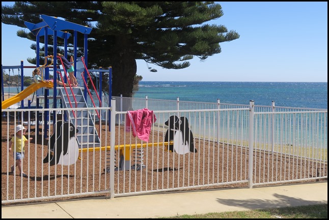 The penguin play park next to Big
Penguin
History: Penguin was first settled in 1861 as a timber town, and proclaimed on 25 October 1875. The area's dense bushland and easy access to the sea led to Penguin becoming a significant port town, with large quantities of timber shipped across Bass Strait to Victoria, where the 1850’s gold rushes were taking place. The town was named by the botanist Ronald Campbell Gunn for the little penguin rookeries that are common along the less populated areas of the coast. Sulphur Creek Post Office opened on the 1st of January 1867 and was replaced by the Penguin Creek office in 1868. The latter office was renamed Penguin in 1895. Penguin was one of the last districts settled along the North West coast of Tasmania, possibly because of an absence of a river, for safe anchorage. Nearly all travel in those days was by boat as bush made the land almost impenetrable. Many of the settlers probably emigrated from Liverpool via landing in Launceston then sailing west along the coast. Trade began when the wharf was built in 1870, allowing timber and potatoes to be exported. Penguin Silver Mine, along the foreshore slightly to the east of the town opened in 1870 but failed a year later. Neptune Mine, a tad further along, likewise failed. The rail from Ulverstone arrived in 1901, after which trade by sea declined. Passing of the Local Government Act in 1906 saw Tasmania divided into 48 Municipalities. Penguin’s first Council was elected in 1907.
Aboriginal Connections: Aboriginal bands, limited to just a few hundred people and collectively known as the North Tribe, consisted primarily of the Punnilerpanner people from Port Sorell, the Pallittorre from Quamby Bluff, the Noeteeler at the Hampshire Hills, and, most pertinent to Penguin, the Plairhekehillerplue at Emu Bluff. Occupation of the inland plains is understood to have been seasonal due to the severity of winter conditions during which months these bands migrated to the coastline. The absence of Aboriginal sites around Penguin is likely to be explained by disturbances due to agricultural activity and residential development.
Recent History: The most notable episode, this century, in Penguin’s ongoing evolution was the attempt by property developers, from 2005 to 2008, to purchase properties along the CBD beachfront on Main St with the aim of transforming them into four-storey commercial/residential opportunities. Support for development was mixed, which resulted, eventually, in the developers foregoing all interest in the seaside town. One manoeuvre to circumvent development involved heritage-listing as much of the CBD as possible. Currently, Penguin has 26 heritage-listed sites.
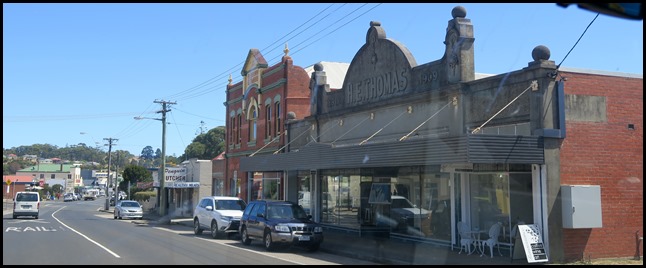
H.E. Thomas established in 1909.
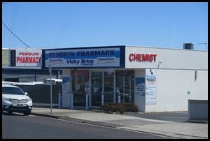
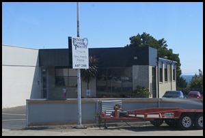
Pharmacy, Doctor and Senior Citizens Club.
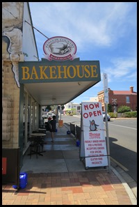
One of the War Memorials, the bakery, back to the bin and a chap waves bye-bye.
Penguin Railway Station.
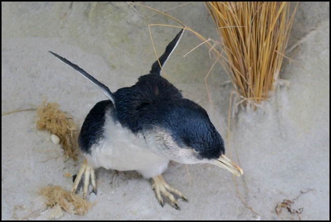
All because of this little chap.
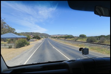
We left Penguin and headed out onto the main road and drove past our camp [we were just behind the van in the picture].
On the horizon we could see the distinctive shape of Stanley Nut..... our next port of call.
ALL IN ALL A ‘HAPPY FEET’ LITTLE TOWN PENGUINS EVERYWHERE |

