Tessellated Pavement

Beez Neez now Chy Whella
Big Bear and Pepe Millard
Tue 12 Jan 2016 23:37
|
Tessellated
Pavement
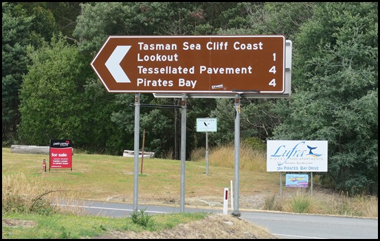 There it was on a
tourist sign, a word neither of us have seen before, nothing for it but
to turn left. [Lufra, Eaglehawk Neck, Tasman Peninsula]
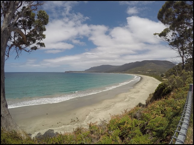 Once settled in the car park we looked
right – Pirates Bay.
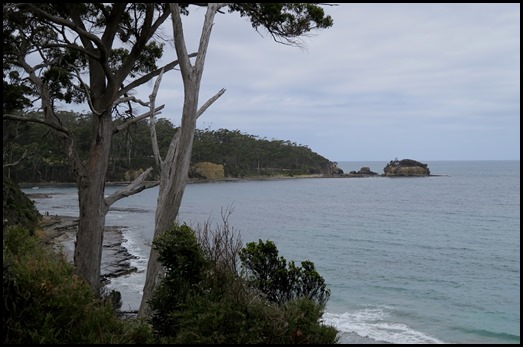 Looking
left, nothing exceptional.
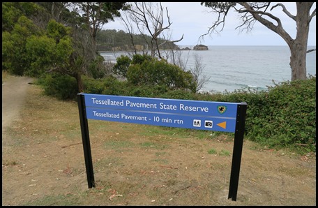 The sign said
left, so off we went.
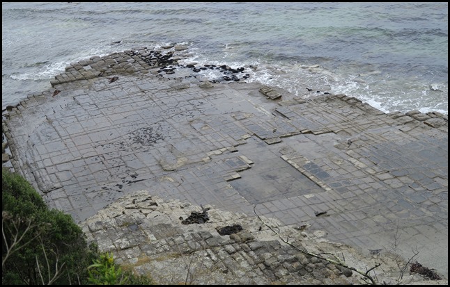 The Tessellated
Pavement from the lookout. How weird, we were always taught that Mother
Nature didn’t like right angles.
The
Tessellated Pavement is an inter-tidal rock platform – a common enough sight on
the coast. But here an unusual set of geological circumstances has resulted in a
rare landform. The story of the Tessellated Pavement began in an ancient, cold
sea........
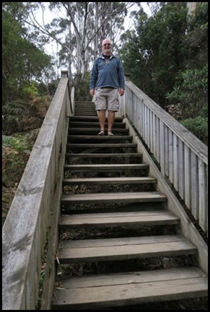 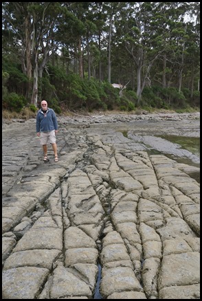 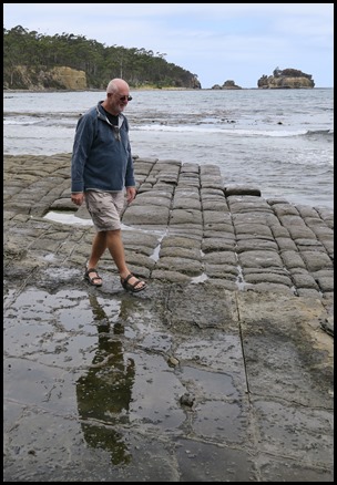 Down we went, suddenly standing on what looks a bit like an old Roman road,
how very strange – some of the pavement is indented, some lumpy......
 Early history of the Pavement;- From
before 290 million to 265 million years ago a depression in the Earth’s surface
was located in central-eastern Tasmania. High country to the east and west had
streams which transported silt into the basin. Muddy sediments built up, sea ice
or icebergs transported rocks into the basin, and shellfish died and were
preserved in the siltstone. The surface of the Tessellated Pavement tells some
of that story. Embedded stones of different rock types show that they were
derived from distant places. They settled into the silt when the floating ice
that carried them melted.
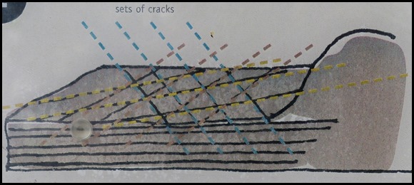 Later History:- From 160 million to
60 million years ago the silt was covered by later sediments which compacted and
became siltstone. The flat-lying cracks [joints] are seen as three main sets,
one aligned to the north-northeast, a second to east-northeast and the third to
the north-northwest. This jointing, exaggerated the process of erosion and has
created the ‘tiled’ appearance.
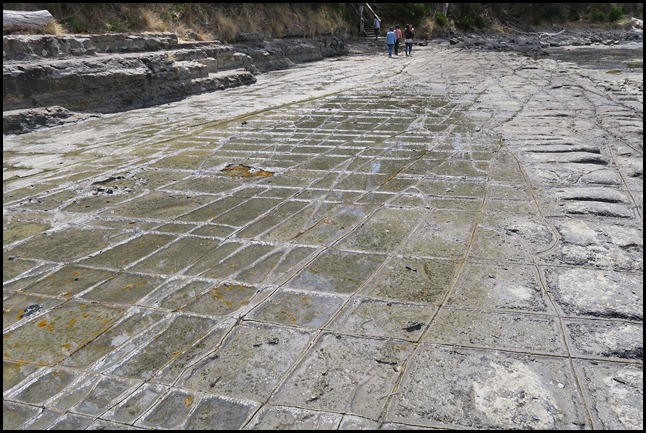 A ‘pan’ instead of a
loaf:- Away from the seashore the pavement dries out for longer periods at low
tide and this allows greater development of salt crystals. The salt forms on the
surface and erodes the pavement’s surface more quickly than the joints. The
surface of the pavement is lowered, while the joints, which are eroding more
slowly, become rims. These ‘pans’ contrast
with the ‘loaves’, where the joints are eroding much quicker than the surface,
because of abrasion by sand and other particles carried by water.
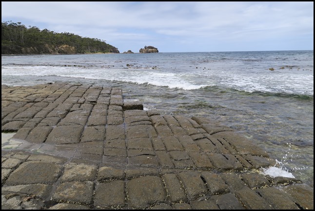 Why a ‘loaf’ is not a ‘pan’:- These
‘loaf’ features are closer to the sea, so they spend more time under water. As
the drying period is shorter, salt crystallisation is less significant. Sediment
such as sand, carried by water, is the main form of abrasion. The joints tend to
channel the water and the margins of the blocks are eroded and the loaf tops
thus appear to rise above the platform. At the shoreline, wave action is
breaking the loaves from the joints.
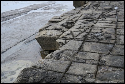 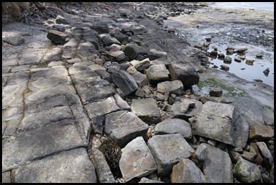 ‘Loaves’ at the
edge of the pavement. Broken and fallen
loaves.
Erosion of the
loaves:- The loaf formations have been eroded to a harder bed of mudstone. The
joints in the lower bed are visible, and seawater, sand and salt are acting upon
the cracks. Even before the old loaves have been dislodged by wave action a new
cycle of erosion has begun on the next layer of the Tessellated
Pavement.
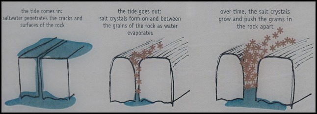 How salt water is breaking up the
pavement:- At high tide, saltwater seeps into the rocks at the surface and into
the joints. As the tide retreats the water evaporates at the rock surface, while
water deeper in the rock is pulled to the surface. Rock farther from the sea
dries out first and salt crystallisation is more concentrated there. The
crystals grow and exert pressure on grains in the rock, causing small cracks and
the flaking of surfaces. When seawater covers the platform the fragments are
swept over the platform and contribute to erosion near the sea
edge.
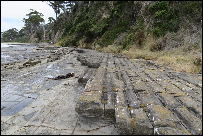 The ‘oldest’ end
of the beach showing the various stages of erosion. From the cliff – old
loaves that only get wet at very high tides or during storms, newer pans, then
broken loaves, then new pan and so on. Absolutely fascinating.
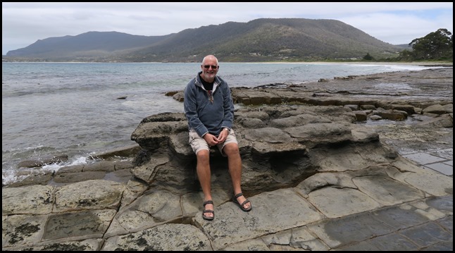 We sat to
take in our - unique to us – surroundings.
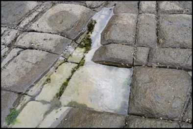 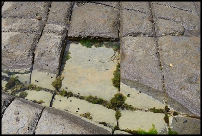 We found one patch where the top of a
loaf had gone leaving on three sides a perfect square
puddle....... pictured
from the side and
the front.
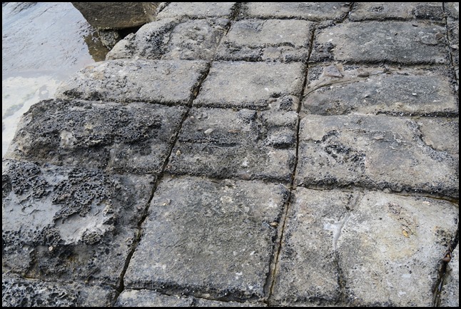 So square in
places.
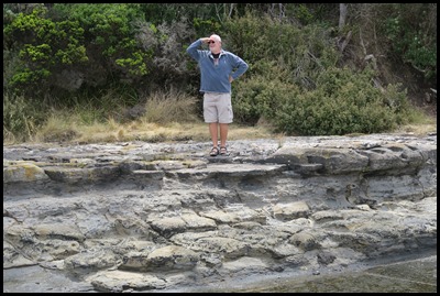 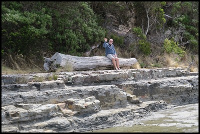 I see no
ships and waiting patiently while I wait
for a wave........
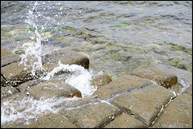 ........which in the end, was just
a little one.
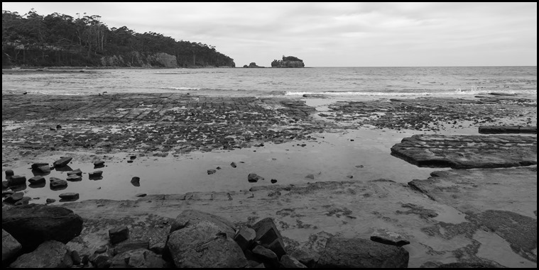 Last look from ‘down here’.
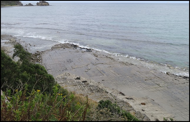 Final look from ‘up
here’.
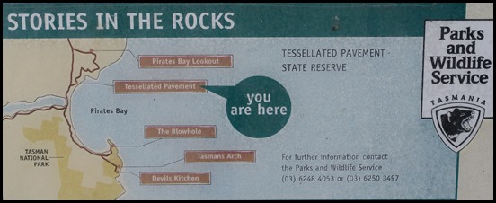 Next stop – The
Blowhole.
ALL IN ALL NATURE PRETENDING
TO BE MAN-MADE
A MOST UNUSUAL
BUSINESS |